
What is recorded here
A narrow entrance gap on the eastern side would have let people enter the fort. The surrounding fields and farmland suggest the fort was built and used by local people living in the area.
Situated on the summit of a NW-SE drumlin ridge towards the SE end. This rath is depicted on McCrea’s map of Co. Monaghan (1793). It is a circular grass-covered area (diam. 35.6m NE-SW; 36m NW-SE) that slopes down to the S (H 1.4m) defined by an earthen bank (at W: Wth 5.5m; int. H 0.3m; ext. H 1.9m) with some bushes and an outer fosse or ditch (at SE: Wth of top 1.65m; ext. D 0.75m) and an external field bank (at SE: Wth 1.5m; ext. H 0.3m). These features are now visible only SE-WNW, but the perimeter can be traced as a slight scarp elsewhere. The original entrance is not identified.
The above description is derived from the published 'Archaeological Inventory of County Monaghan' (Dublin: Stationery Office, 1986). In certain instances the entries have been revised and updated in the light of recent research.
Date of revision: 27 July 2017.
The monument record does not grant public access. Check the route and ask the landowner before entering private land.
- What survives
- Recorded monument
Places near here
 Fin McCools TableMegalithic tomb · 1486 yd
 Horse-chestnutHorse-chestnut · 1.0 mi
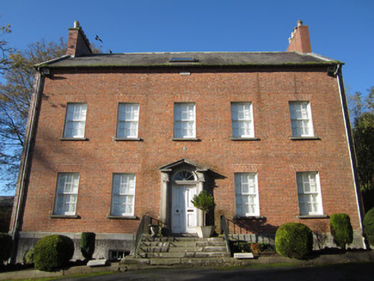 Derryolam Houserectory/glebe/vicarage/curate's house · 1.2 mi
 Carrickmacross Union Workhouseworkhouse · 1.3 mi
 Man-made underground passage in CornasleeveMan-made underground passage · 1.3 mi
 European BeechEuropean Beech · 1.7 mi
 TobernagalliaghSpring · 2.3 mi
 Mannan Castle (in ruins)Castle, Anglo-Norman masonry castle · 2.4 mi
 Drumerlough MoreMountain / peak · 3.9 mi
 RaferaghMountain / peak · 4.2 mi
 Gully IslandIslet · 5.1 mi
 Rock IslandIslet · 5.2 mi
Other information
Photo: Credit not shown in the picture search · Rights wording not checked; contact us if this picture should be removed