What is recorded here
Forty metres of packed earth and stone still mark the circle in Aghakine, though modern traffic has scraped away part of the outer bank. The surviving ridge, steep scarp and shallow ditch suggest a place set apart rather than a temporary camp. People may have lived, hidden or performed rituals inside that boundary before the roadway cut across its edge. The fairies keep the lost entrance, but human hands built the visible shape.
On a SE-facing slope in pasture. A raised circular area (diam. 40m) enclosed from ESE–S–NW by a low bank of earth and stone (Wth 4-6.2m; H 0.4-0.8m) and elsewhere defined by a scarp (H 1.5m) and an intervening fosse (Wth 5.5-6m; D 1.25-1.3m). An outer bank (Wth 4-6.2m; H 1.6-1.7m) is evident except from ESE–SE–SSE where a scarp (H 1.5m) forms the enclosing element. From NNE–E-ESE, where the rath is bordered by a modern roadway, the external face of the outer bank has been removed. The original entrance is not recognisable.
Compiled by: Patrick F. O'Donovan
Date of upload: 22 November 2011
This remains an important historical record, but the official description says the monument is no longer visible or has been destroyed. The monument record does not grant public access. Check the route and ask the landowner before entering private land.
- What survives
- No visible remains or recorded as destroyed
Places near here
 Portal tomb in AghnacliffPortal tomb · 947 yd
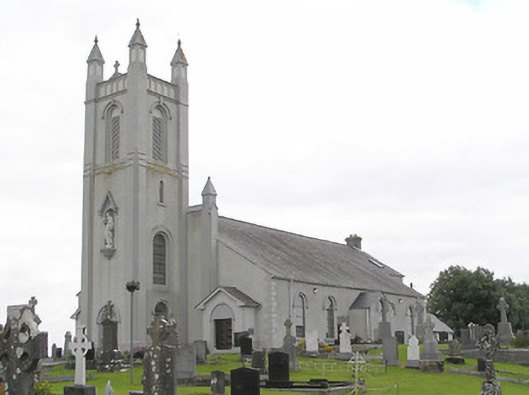 Saint Colmcille's Catholic Churchchurch/chapel · 1006 yd
 Sonnagh fortArchaeological place · 1354 yd
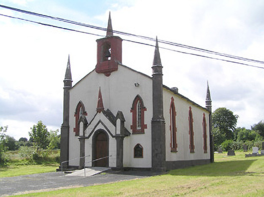 Saint Thomas's Church (Columbkille)church/chapel · 1.2 mi
 InchmoreIslet · 1.6 mi
 Mulrick WoodlandForest · 1.8 mi
 Arnaghan SouthMountain / peak · 2.0 mi
 Derrycassan WoodsWood · 2.3 mi
 Arnaghan NorthMountain / peak · 2.7 mi
 Cloone Ho.Castle, unclassified · 2.8 mi
 Scrabby IslandIslet · 3.0 mi
 Ballinamuck Bog LoopWalking route · 3.5 mi