What is recorded here
On a SE-facing slope in pasture. Depicted as a circular enclosure with the designation 'Fort' on the 1837 ed. of the OS 6-inch map. A report in 1976 (SMR file) described the monument as a raised subcircular area (c. 53m NNE-SSW; c. 47m ENE-WSW) enclosed by a substantial bank of earth and stone with a wide deep external fosse and a possible original entrance at SE. It has since been almost completely destroyed by quarrying. All that survives is a very small portion of the interior (max. dim. 3m) which is enclosed by a wide low bank of earth and stone (Wth c. 4.5-6m; H 0.1-0.6m) from NE-S-W. Because the bank is heavily overgrown with scrub it is unclear whether the original feature has been augmented by upcast from the quarry. A low, poorly defined rise marks the circuit of the remainder of the perimeter. The fosse is not visible at ground level and the present entrance is at SE.
Compiled by: Patrick F. O'Donovan
Date of upload: 26 August 2011
The monument record does not grant public access. Check the route and ask the landowner before entering private land.
- What survives
- Recorded monument
Places near here
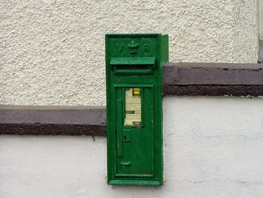 post boxpost box · 320 yd
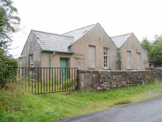 Scoil Náisiúnta na Géigeschool · 1.3 mi
 Structure in KilmahonStructure · 1.9 mi
 Ballinamuck Bog LoopWalking route · 1.9 mi
 IndicatedFairy fort / earthen ringfort · 2.3 mi
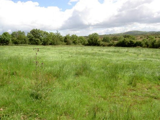 battlefieldbattlefield · 3.0 mi
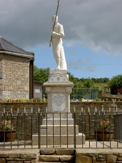 1798 Monumentmonument · 3.2 mi
 Bawn in CurrycahillBawn · 3.9 mi
 InchmoreIslet · 4.0 mi
 Ballinalee Forest WalkForest · 4.1 mi
 Cloonfin WoodForest · 4.6 mi
 Arnaghan SouthMountain / peak · 4.6 mi