What is recorded here
Fairy fort in Aghadark, County Leitrim: a 31-metre earthen ring on a north-facing hill slope, with a buried fosse and no visible entrance. It is the kind of place people once walked past without naming, perhaps living inside or fearing what the bank hid. The lost laneway cut through its middle like a road taking back what it had taken from the field.
Situated on the N-facing slope of a hill. This is a circular overgrown area (diam. 31m crest to crest; int. diam. 28m NE-SW) defined by an earthen bank (at S: Wth 4.5m; int. H 0.7m; ext. H 0.9m) and external fosse (at S: Wth of top 6m; Wth of base 3m; D 0.4m) E-S-W (upslope), with a scarp (max. H 1.5m) elsewhere. The original entrance was not identified, and the interior was bisected by an E-W laneway which has now been removed.
The above description is derived from 'The Archaeological Inventory of County Leitrim' compiled by Michael J. Moore (Dublin: Stationery Office, 2003). In certain instances the entries have been revised and updated in the light of recent research.
Date of upload: 23 September 2008
The monument record does not grant public access. Check the route and ask the landowner before entering private land.
- What survives
- Recorded monument
Places near here
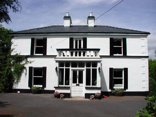 Curranmount Househouse · 506 yd
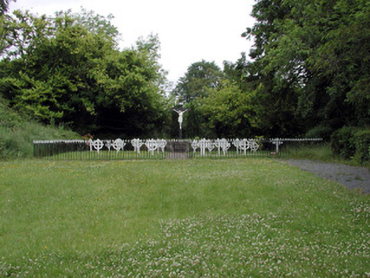 Convent of Mercygraveyard/cemetery · 917 yd
 John Joe McGirlMonument · 1033 yd
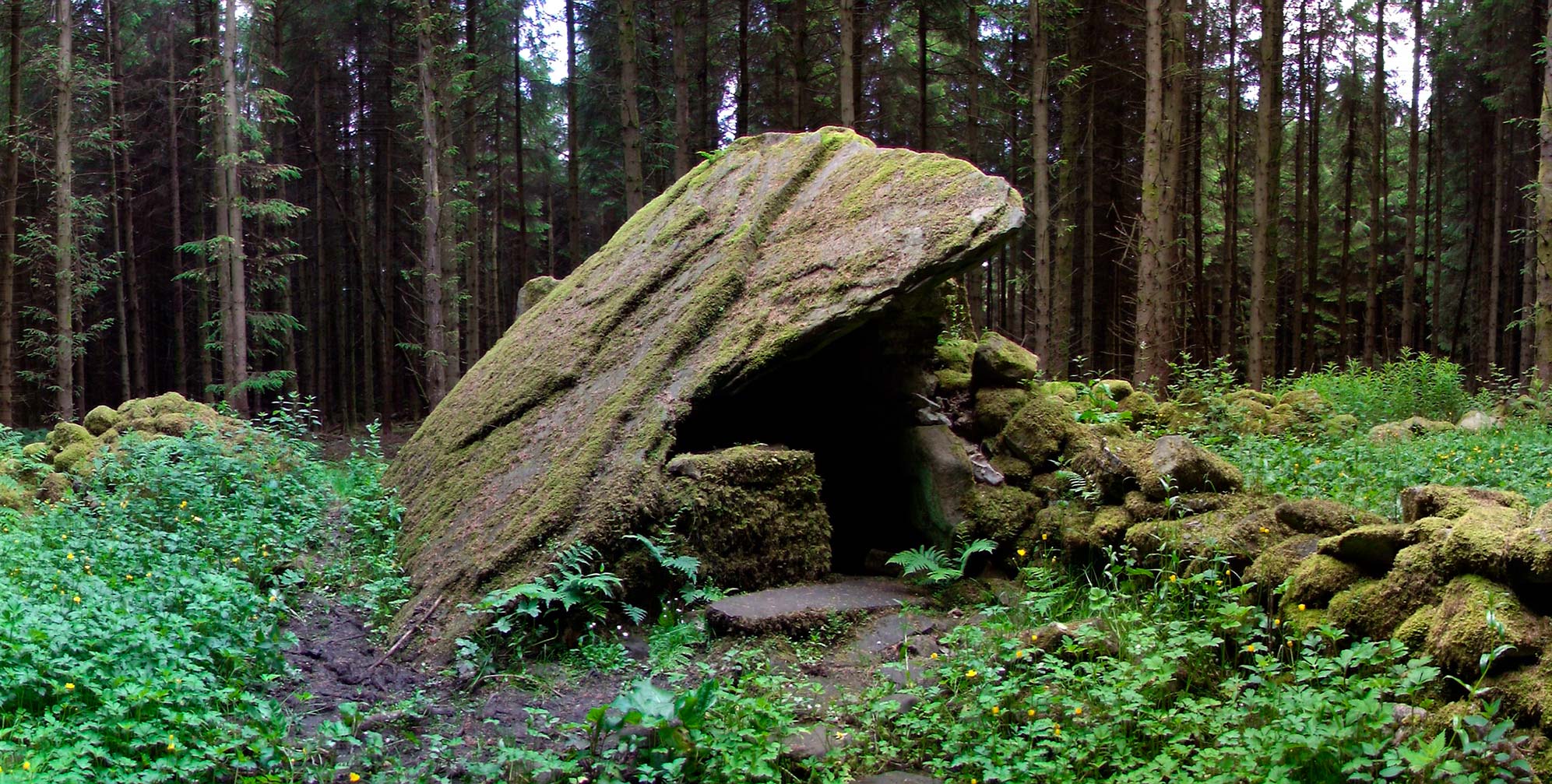 Druid's AltarArchaeological place · 1.1 mi
 DrumbadMountain / peak · 1.6 mi
 Turf IslandIsland · 2.1 mi
 Buck IslandIsland · 2.1 mi
 Cromlin Bridge WoodWood · 2.5 mi
 DrumgownaghMountain / peak · 3.1 mi
 CastleCastle, tower house · 3.1 mi
 European ashEuropean ash · 3.2 mi
 CastleforeCastle, tower house · 3.8 mi