What is recorded here
Addergoole Beg was a circular earthen fort about thirty metres across, standing on a grassy ridge above a small stream. It vanished completely, leaving no visible trace despite appearing on early maps and earning a local name. The land swallowed the boundary, erasing the fort while preserving the memory that something solid once resisted the sky.
On a ridge in grassland overlooking a small stream to S. Marked on 1st ed. of OS 6-inch map as a circular enclosure (D c. 30m) and noted by Neary (1914, 121, no. 157) as a 'circular, earthen fort', known locally as 'Addergoole-Beg Fort'. No visible surface trace survives.
The above description is derived from the published 'Archaeological Inventory of County Galway Vol. II - North Galway'. Compiled by Olive Alcock, Kathy de hÓra and Paul Gosling (Dublin: Stationery Office, 1999).
Date of upload: 05 August 2010
A fairy fort / earthen ringfort in Addergoole Beg is a circular, earthen enclosure, likely dating to the early medieval period, based on its form and 19th-century descriptions. It is associated with local folklore referring to it as a site of supernatural significance, possibly linked to the "fairy folk."
The monument record does not grant public access. Check the route and ask the landowner before entering private land.
- What survives
- Recorded monument
Places near here
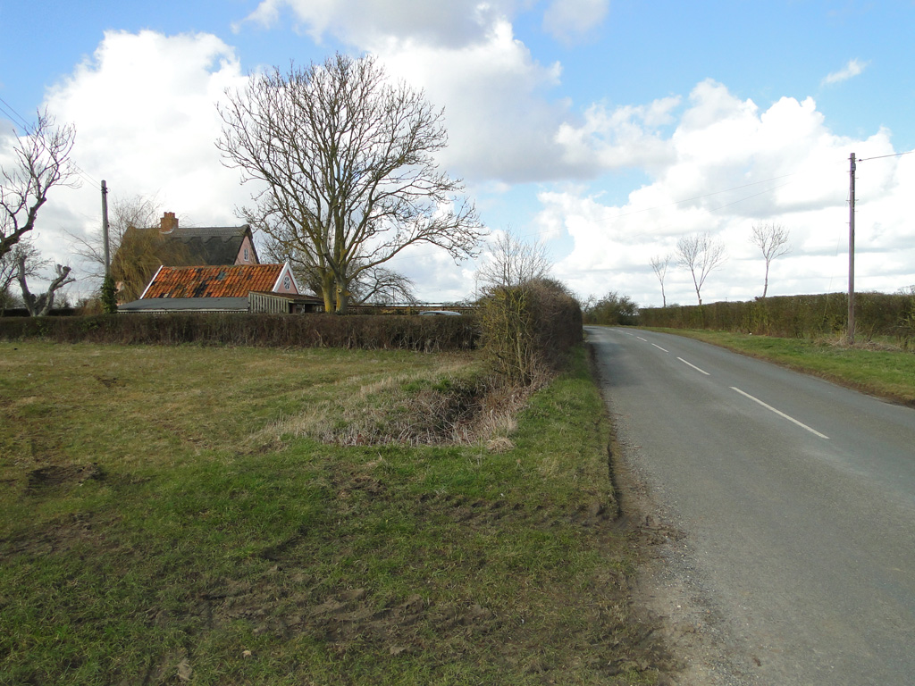 Cuckoo HillFairy fort / ringfort · 662 yd
 Sweating Kilns (in Ruins)Sweathouse · 1387 yd
 Abbey in ruinsChurch · 1682 yd
 Church in ruinsChurch · 2.1 mi
 Dunmore CastleCastle · 2.1 mi
 Site of Doonbally CastleCastle, unclassified · 3.1 mi
 Slieve DartMountain / peak · 4.9 mi
 European ashEuropean ash · 7.1 mi
 Mass RockNamed rock · 8.8 mi
 CrossCross, High cross (present location) · 1715 yd
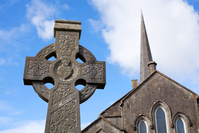 Stone CrossCross, High cross · 1727 yd
 Cloonagh FortHilltop enclosure · 1.4 mi