What is recorded here
Fairy fort / earthen ringfort in Acres (burren By.),tonarussa is a worn oval rath in County Clare, Ireland, where a low earth and stone bank still marks a forgotten boundary. Cattle may have grazed around it while people moved stones from nearby fields into the ridge, changing its shape but not its purpose. The northern interior slopes inward as if dug out later, suggesting the place served more than one generation before becoming a quiet mound in pasture.
In mixed pasture and meadowland on the gentle S-facing downslope of a low E–W ridge. Hachured on the 1842 and 1915 eds. of the OS 6-inch maps. Listed as ‘Enclosure’ in the SMR (1992) and the RMP (1996). A very poorly preserved oval rath (int. dims. 24m E–W; 20.9m N–S crest to crest) defined by a low but wide bank (Wth 4.6–6.1m; max. H 0.8m) of earth and stone to which some field clearance stones have been added. There is no trace of an outer fosse or original entrance. The N portion of the interior appears to have been dug out giving a long sloping profile to the inner face of the bank. A townland boundary wall runs NW–SE across the N interior and a ruined field wall overlies the bank at NW.
Compiled by: Mary Tunney and Ros Ó Maoldúin
Date of upload: 9 December 2020
This remains an important historical record, but the official description says the monument is no longer visible or has been destroyed. The monument record does not grant public access. Check the route and ask the landowner before entering private land.
- What survives
- No visible remains or recorded as destroyed
Places near here
 IndicatedEnclosure · 575 yd
 LisheenakirkaEnclosure · 658 yd
 mausoleummausoleum · 1454 yd
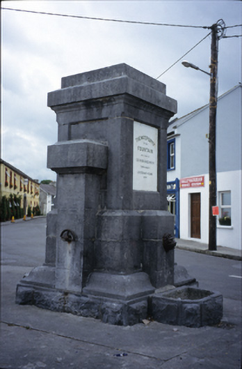 Ballyvaghan Fountainfountain · 1601 yd
 Ballyvaghan Castle (in ruins)Castle, unclassified · 1.1 mi
 Moneen MountainMountain / peak · 1.3 mi
 Bird Of Prey CentreHeritage attraction · 1.6 mi
 Aillwee CaveCave · 1.6 mi
 Newtown CastleCastle, tower house · 1.7 mi
 Rine PointHeadland · 2.0 mi
 CappanawallaMountain / peak · 2.9 mi
 Gleninshing portal tombHeritage attraction · 3.3 mi