What is recorded here
Located on a fairly level landscape. The cropmark of a fragment of an enclosure ditch is visible on the SE side of a NE-SW field bank (C c. 35m) on digital aerial photographs (WX039-079_1, _2). It has an entrance gap at S.
Compiled by: Michael Moore
Date of upload: 24 January, 2013
The monument record does not grant public access. Check the route and ask the landowner before entering private land.
- What survives
- Recorded monument
Places near here
 site of ChurchChurch · 590 yd
 Site of ChapelChurch · 973 yd
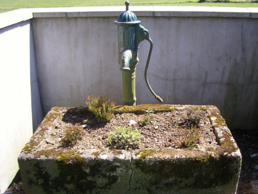 water pumpwater pump · 1321 yd
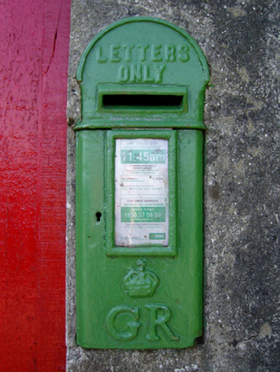 post boxpost box · 1369 yd
 Ash CollectionVisitor information · 1.1 mi
 Garden of RemembranceMemorial · 1.1 mi
 Castle (in ruins)Castle, tower house · 1.2 mi
 The Croppy GroveMemorial · 1.2 mi
 Alder CollectionVisitor information · 1.2 mi
 site of CastleCastle, unclassified · 1.2 mi
 John F. Kennedy Arboretum MuseumMuseum · 1.4 mi
 The John F. Kennedy ArboretumForest · 1.5 mi