What is recorded here
Fairy fort in Abbeystrowry, County Cork: a small D-shaped rath on a south-east-facing pasture slope, with an earthen bank about two metres high and a field fence completing one side. People may have kept animals inside, hidden tools, or marked a boundary between households and open grass. The shape still fits a busy human life, even when folklore calls it a fairy fort.
In pasture on SE-facing slope. D-shaped area (18m NE-SW; 6m NW-SE) enclosed by earthen bank (H 2.05m) NE-SW; field fence SE-NE. Low undulation (H c. 0.5m) noted in field to NNE. Known locally as ringfort.
The above description is derived from the published 'Archaeological Inventory of County Cork. Volume 1: West Cork' (Dublin: Stationery Office, 1992). In certain instances the entries have been revised and updated in the light of recent research.
Date of upload/revision: 14 January 2009
The monument record does not grant public access. Check the route and ask the landowner before entering private land.
- What survives
- Recorded monument
Places near here
 New Bridgebridge · 470 yd
 Abbey Strowry (in Ruins)Church · 578 yd
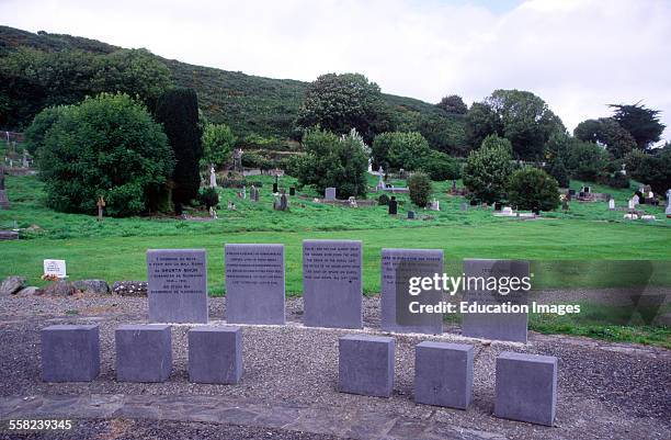 Man-made underground passage in AbbeystrowryMan-made underground passage · 663 yd
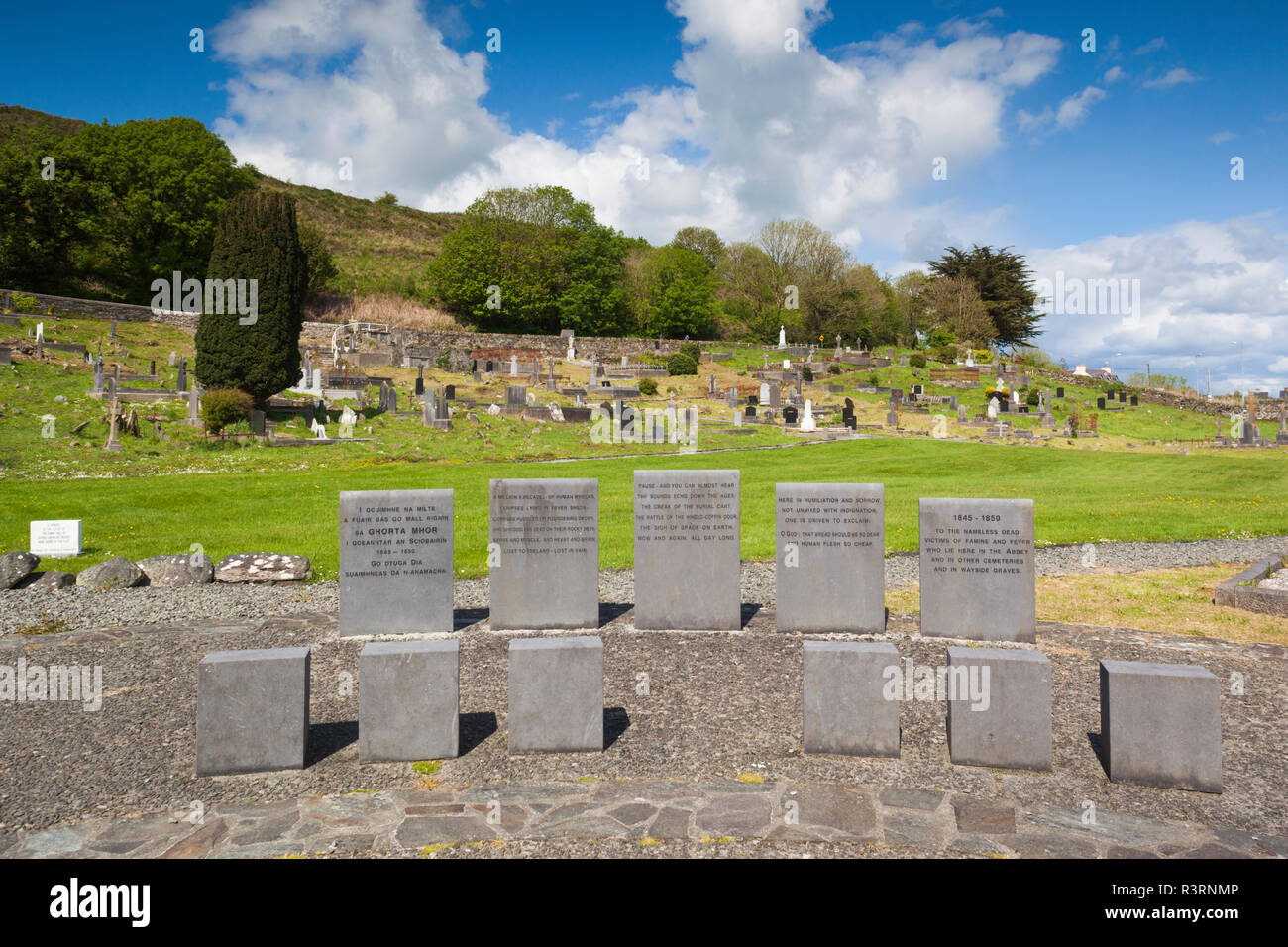 Enclosure in AbbeystrowryEnclosure · 867 yd
 Heritage CentreMuseum · 1104 yd
 Bishop MahonyMemorial · 1587 yd
 Wild Atlantic WayVisitor information · 1.1 mi
 Site of CastleCastle, unclassified · 1.5 mi
 Coolngrane Fairy FortFort · 1.5 mi
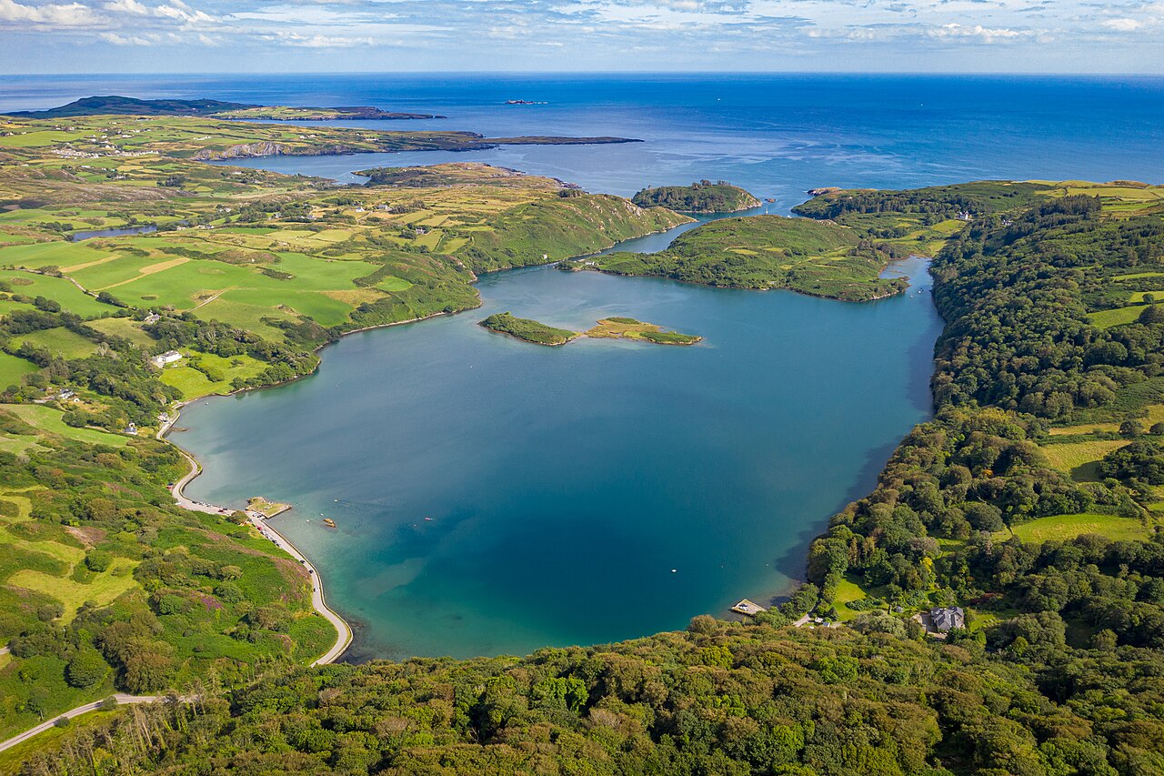 Lough HyneVisitor information · 1.7 mi
 Monterey CypressMonterey Cypress · 2.9 mi
 KnockomaghMountain / peak · 3.5 mi