What is recorded here
No visible castle or church stands in Abbeystrowry, only a broken earth ring and a absent name. The fort is gone or never recorded, but the region still carries the shape of human life. Forgetting did not erase the place; it redirected attention elsewhere.
In grassland, on N-facing slope, below crest of ridge. Circular area (22m N-S; 24m E-W) enclosed by earthen bank (H 1.6m), stone faced in parts on inside. Earthen field fence running NE-SW truncates SE edge of site.
The above description is derived from the published 'Archaeological Inventory of County Cork. Volume 1: West Cork' (Dublin: Stationery Office, 1992). In certain instances the entries have been revised and updated in the light of recent research.
Date of upload/revision: 14 January 2009
The monument record does not grant public access. Check the route and ask the landowner before entering private land.
- What survives
- Recorded monument
Places near here
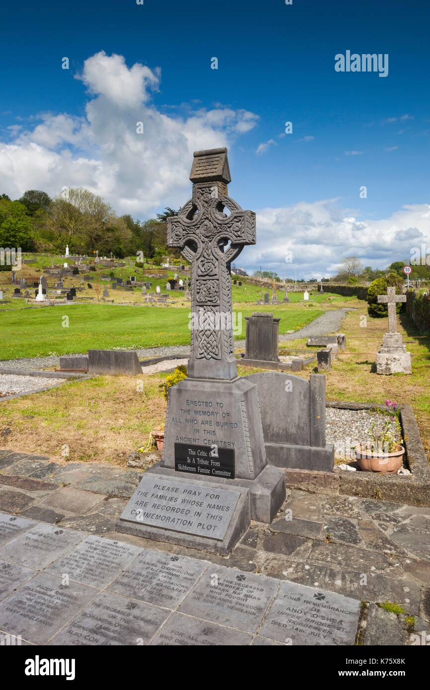 Earthwork in AbbeystrowryEarthwork · 316 yd
 Abbey Strowry (in Ruins)Church · 473 yd
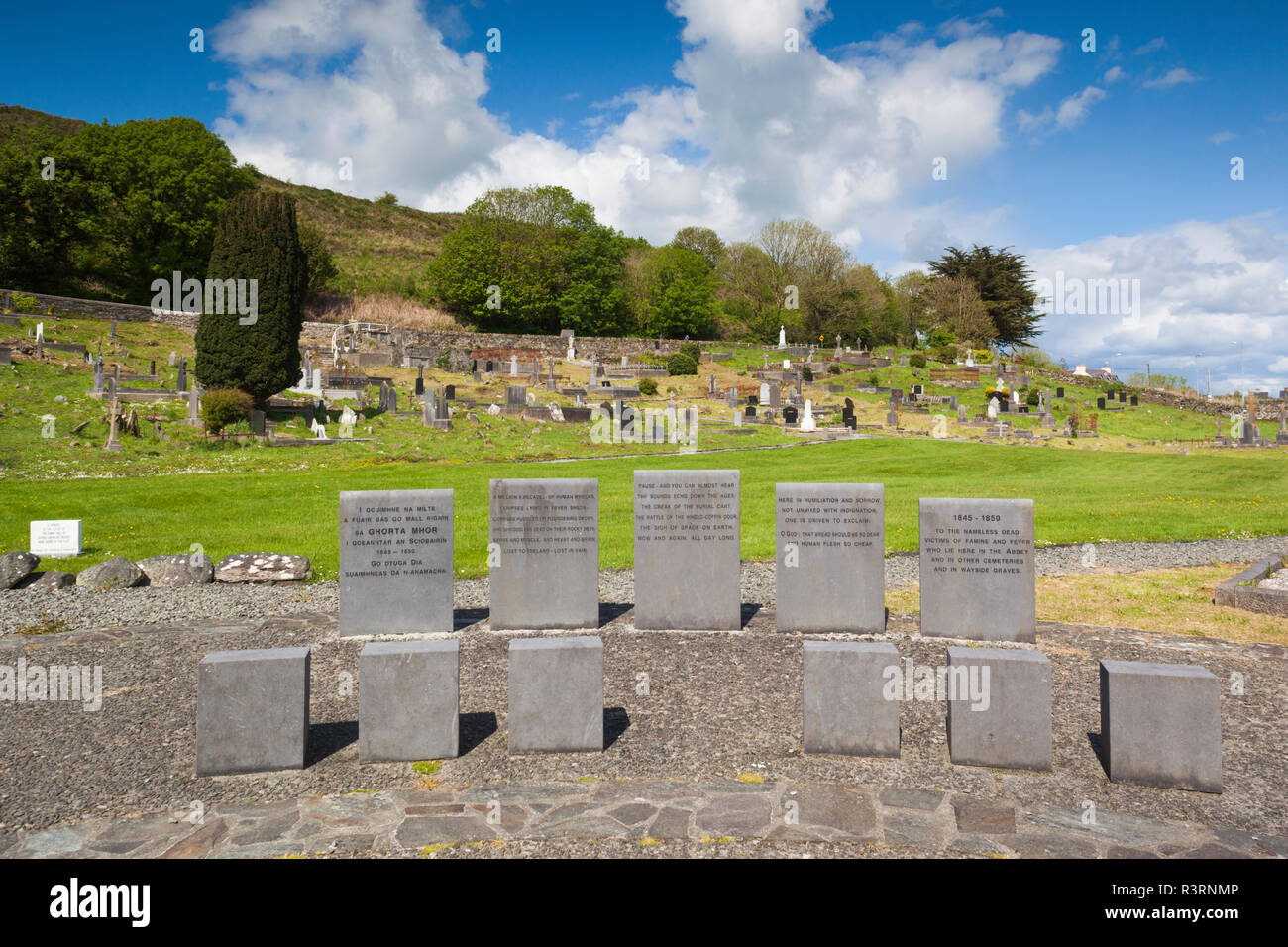 Enclosure in AbbeystrowryEnclosure · 493 yd
 New Bridgebridge · 658 yd
 Heritage CentreMuseum · 1653 yd
 Bishop MahonyMemorial · 1.2 mi
 Wild Atlantic WayVisitor information · 1.4 mi
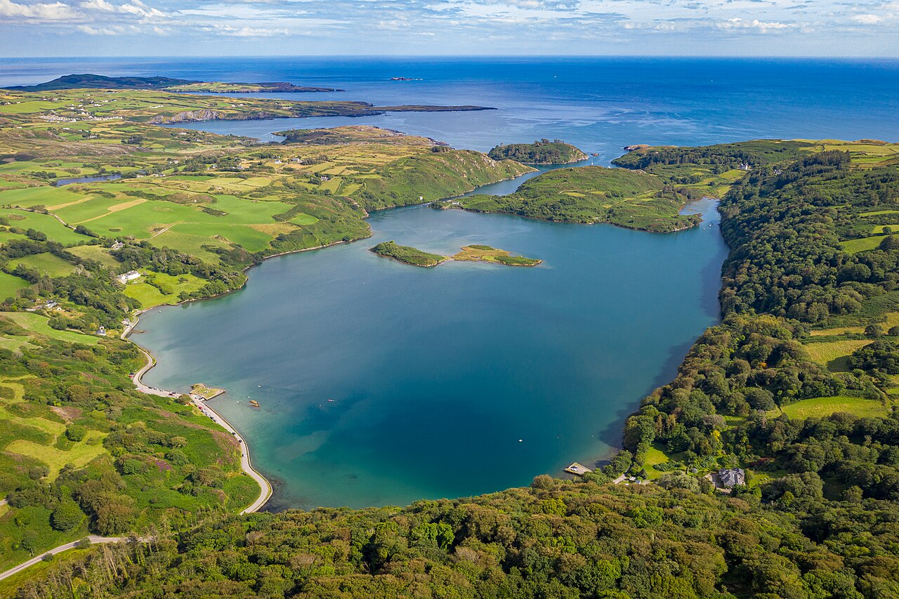 Lough HyneVisitor information · 1.5 mi
 Site of CastleCastle, unclassified · 1.8 mi
 Coolngrane Fairy FortFort · 1.9 mi
 Monterey CypressMonterey Cypress · 2.6 mi
 KnockomaghMountain / peak · 3.3 mi