
What is recorded here
Fair Isle, 'gillie' is a cist in Shetland Islands, Scotland.
Places near here
Photo credits
- Mike Pennington, Wikimedia Commons · CC BY-SA 2.0
- Julian Paren, Wikimedia Commons · CC BY-SA 2.0
- David Purchase, Wikimedia Commons · CC BY-SA 2.0
- Maker not stated on source page, www.themedievalmagazine.com
- Maker not stated on source page, www.shetnews.co.uk
- Maker not stated on source page, ru.pinterest.com
- Rude Health, Wikimedia Commons · CC BY-SA 2.0
 Lang ColeIslet · 693 yd
 Fair IsleSheepfold · 804 yd
 Fair Isle, Malcolm's HeadSheepfold · 896 yd
 Fair Isle, Malcolm's Head, Lookout TowerStructure(s) · 1011 yd
 Fair Isle, TaftGrain Drier · 1016 yd
 Fugli StackIslet · 1052 yd
 Fair Isle, Mathers HeadMound · 1358 yd
 Green HolmIslet · 1473 yd
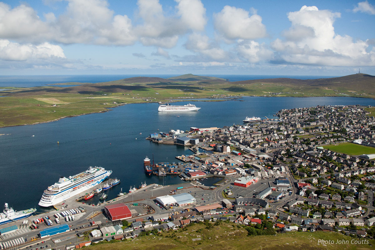 South Harbour, Hand WinchesCrane(s) · 1524 yd
 Lilly: South Lighthouse Pier, Fair Isle, North SeaYole (19th Century) · 1551 yd
 Skaddan South LighthouseLighthouse · 1654 yd
 Marie: the Burrian, Fair Isle, North SeaBarque (19th Century) · 1.0 mi
More archaeology and monuments in Shetland Islands · All of Shetland Islands

What do you know about this place?Tap to add a comment or ask a question