What is recorded here
Situated on the W bank of a small SSE-NNW stream. A single pit (diam. 1.24-.132m; D 0.9m) filled with dark grey sandy clay and burnt stones was excavated (E3449) in Area 4 as part of the modification of a roundabout on the N25 Waterford bypass, alternate route. The material may have originated in a burnt mound outside the excavated area. (Russell 2010a)
Russell, I. (2010a) Woodstown 4. Pit. in I. Bennett (Ed.) Excavations 2007: summary accounts of excavations in Ireland, 524, No. 1860. Wordwell. Dublin.
Compiled by: Michael Moore
Date of upload: 26 August 2010
The monument record does not grant public access. Check the route and ask the landowner before entering private land.
- What survives
- Recorded monument
Places near here
 Native Irish Tree TrailWood · 179 yd
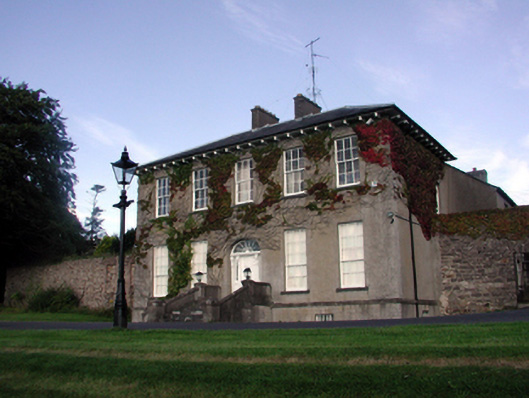 Carriganore Househouse · 483 yd
 Fulacht fia in Knockhouse UpperFulacht fia · 576 yd
 Fulacht fia in Knockhouse LowerFulacht fia · 743 yd
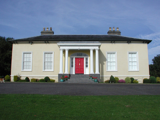 Killoteran Househouse · 1050 yd
 Native Woodland Trust:Grace Dieu ReserveWood · 1737 yd
 Corluddy Castle (in Ruins)Castle, tower house · 1.3 mi
 Mount Congreve GardensHeritage attraction · 1.7 mi
 Granny CastleCastle, tower house · 2.0 mi
 Waterford & Suir Valley RailwayHeritage attraction · 2.9 mi
 Sugar Loaf RockMountain / peak · 3.1 mi
 Ballyscanlon HillMountain / peak · 6.3 mi