What is recorded here
First identified by Ian Russell (2008, 361) of Archaeological Consultancy Services in centre-line testing (05E0763) of Alternate Route 2a of the Waterford City bypass in testing area 32. Situated on a gentle W-facing slope, it was fully excavated (E3439) by Robert O'Hara of ACS as Woodstown 8 when eight truncated pits, some containing what may be fragments of an Early Bronze Age vase urn, were recorded in association with a hearth. (O'Hara 2010a; O'Hara and Ginn 2011e).
O'Hara, A. (2010a) Woodstown 8. Possible prehistoric structure. in I. Bennett (Ed.) Excavations 2007: summary accounts of excavations in Ireland, 526, No. 1863. Wordwell. Dublin.
Russell, I. (2008) Various townlands. in I. Bennett (Ed.) Excavations 2005: summary accounts of excavations in Ireland, 361, No. 1481. Wordwell. Dublin.
O’Hara, R. and V. Ginn (2011e) Woodstown 8, Co. Waterford. in J. Eogan and E. Shee-Twohig (2011) Cois tSiúire – nine thousand years of human activity in the lower Suir valley. Archaeological excavations on the N25 Waterford city bypass, vol. 1, 73-5. NRA road scheme: Monograph 8, Dublin
Compiled by: Michael Moore
Date of upload: 26 August 2010
The monument record does not grant public access. Check the route and ask the landowner before entering private land.
- What survives
- Recorded monument
Places near here
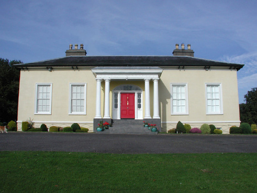 Killoteran Househouse · 333 yd
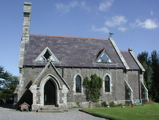 Killoteran Churchchurch/chapel · 378 yd
 Enclosure in Woodstown (middlethird By., Killoteran Par.)Enclosure · 483 yd
 Viking settlement siteArchaeological place · 615 yd
 Native Irish Tree TrailWood · 1177 yd
 Mount Congreve GardensHeritage attraction · 1.1 mi
 Monterey CypressMonterey Cypress · 1.4 mi
 Corluddy Castle (in Ruins)Castle, tower house · 1.5 mi
 CastleCastle, unclassified · 1.8 mi
 Waterford & Suir Valley RailwayHeritage attraction · 2.4 mi
 Sugar Loaf RockMountain / peak · 2.5 mi
 Ballyscanlon HillMountain / peak · 5.6 mi