What is recorded here
Archaeological monitoring of foundations for a housing development revealed five shallow pits (see KE066-116----; KE066-209----; KE066-211----; KE066-212----) containing burnt earth and charcoal in an area immediately to the SE of the enclosure (KE066-075----) (Breen 1998, 87). A very slight concavity with fill of charcoal and ash was interpretated as probably the edge of a pit (Wth 1.55m) (Breen 1997, feature 3). Another pit (KE066-211---) was found c. 30m to the SW.
Compiled by: Elizabeth Byrne, Ursula Egan and Sheila Ronan, Archaeological Survey Unit, University College, Cork.
Date of upload: 31 January 2011
The monument record does not grant public access. Check the route and ask the landowner before entering private land.
- What survives
- Recorded monument
Places near here
 Enclosure in Cahernane (magunihy By., Killarney Par.)Enclosure · 566 yd
 The WildernessForest · 668 yd
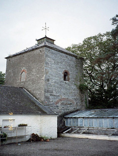 Killarney Housedovecote/pigeon house/aviary · 694 yd
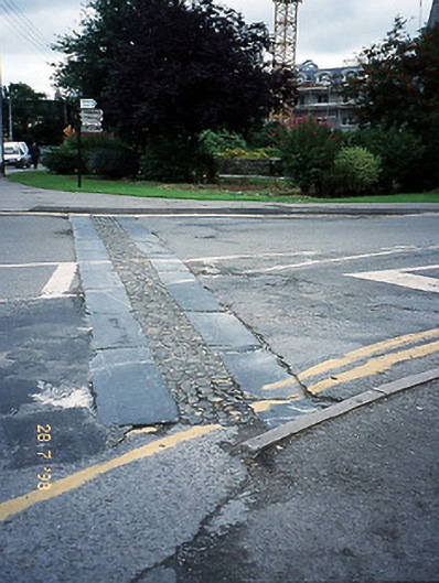 cobbles/flags/paving/kerbingcobbles/flags/paving/kerbing · 785 yd
 Monsignor Hugh O'Flaherty MemorialMemorial · 826 yd
 Killarney First World War MemorialMemorial · 880 yd
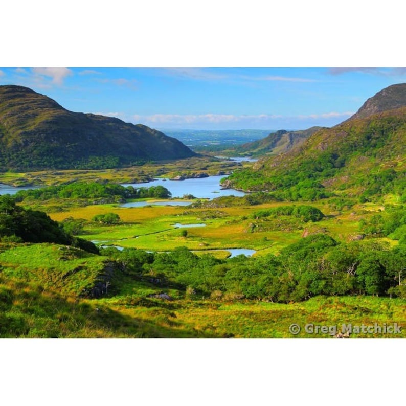 Ladys WellHoly well · 880 yd
 Jaunting ToursHeritage attraction · 882 yd
 Giant SequoiaGiant Sequoia · 1315 yd
 River WalkWalking route · 1508 yd
 McCarthy Mor CastleCastle · 1.0 mi
 Circular WalkWalking route · 1.1 mi