What is recorded here
Located towards the bottom of a S-facing slope of Lacken Hill and just above the broad col between Lacken and a lower spur c. 1 km to the S. Six shallow pits (diam. c. 0.5-1m; D c. 0.1m), some with sherds of Neolithic pottery, and a linear feature (Wth 0.4m; D 0.4m) were identified in centre-line testing (E4067) for the N25 New Ross by-pass during 2009 (Doyle et al. 2010, 38-9). It was set aside for resolution as Ryleen 1 when further excavation (E4115) identified seven pits (dims c. 0.5m to 1.63 x 1.15m; D 0.1-0.35m) which are interpreted as tree bole-holes, but five sherds of prehistoric pottery and a piece of struck flint were recovered from them. (Clark and Long 2010d, 8-10; Hession 2013)
Compiled by: Michael Moore
Date of upload: 24 September, 2013
The monument record does not grant public access. Check the route and ask the landowner before entering private land.
- What survives
- Recorded monument
Places near here
 Fulacht fia in Lacken (bantry By.)Fulacht fia · 463 yd
 Lacken HillMountain / peak · 1096 yd
 1798 MonumentMonument · 1105 yd
 Site of CastleCastle, unclassified · 1335 yd
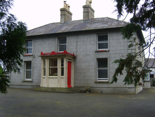 Erin Valefarm house · 1441 yd
 Newtown Housefarm house · 1499 yd
 Forest Of The DunbrodyForest · 1541 yd
 Site of Arnestown CastleCastle, unclassified · 1.4 mi
 Crutched FriarsMemorial · 2.7 mi
 SlievecoiltiaMountain / peak · 4.2 mi
 Devon whitebeamDevon whitebeam · 4.4 mi
 Kennedy HomesteadHeritage attraction · 5.2 mi