What is recorded here
Mud and marrow from Kilcullen to Waterford. Ladders and ropes into darkness. The road wants measurement, not memory. We dig until the numbers stop wanting to be true.
Excavated in advance of construction of the N9/N10 Kilcullen-Waterford Road (Excavation Licence number E2571/E2572). A large number of pits and postholes discovered in association with a Neolithic house (CW003-028----) and a medieval enclosure (CW003-029----). (Hegarty L. 2009, 49-50)
Reference:
Hegarty L. (2009) 'Russelstown Neolithic house/multi-phase site' in I. Bennett (ed.), Excavations 2006: summary accounts of archaeological excavations in Ireland, 49-50 (206). Bray. Wordwell
Compiled by: Claire Breen
Date of upload: 10 November 2010
The monument record does not grant public access. Check the route and ask the landowner before entering private land.
- What survives
- Recorded monument
Places near here
 Enclosure in RussellstownEnclosure · 95 yd
 Cork oakCork oak · 510 yd
 European YewEuropean Yew · 613 yd
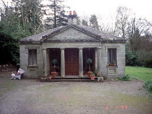 Russellstown Parkgate lodge · 629 yd
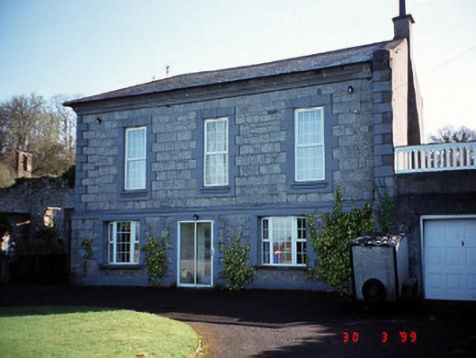 Burton Hallcountry house · 713 yd
 Enclosure in RainestownEnclosure · 1126 yd
 Friarstown Castle (in ruins)Castle, tower house · 2.0 mi
 OutlinedCastle, unclassified · 2.0 mi
 Church (in Ruins), GraveyardChurch · 2.1 mi
 Brownshill Portal TombVisitor information · 2.1 mi
 Franciscan FriaryHeritage attraction · 3.6 mi
 ProclamationMemorial · 3.7 mi