What is recorded here
Located on a slight E-facing slope. Archaeological monitoring (02E0160) on a windfarm identified archaeological features on the base of turbine 7 (Purcell 2002, 12), which was fully excavated (02E0434). It consisted of a single pit (dims 1.9m N-S; 1.63m E-W; D 0.35m). There were two areas of burning in the fill, and pottery that has been identified as Neolithic Sandhills ware was recovered, along with flint debitage. (Purcell 2002a, 8-10)
The monument record does not grant public access. Check the route and ask the landowner before entering private land.
- What survives
- Recorded monument
Places near here
 St. Vogues WellHoly well · 108 yd
 Enclosure in St. Vogue'sEnclosure · 173 yd
 St, Vogues Chapel in ruinsChurch · 199 yd
 World War Two Aircraft Warning StationRuins · 200 yd
 Hole of the ForlornBeach / strand · 435 yd
 The Caravan RockNamed rock · 781 yd
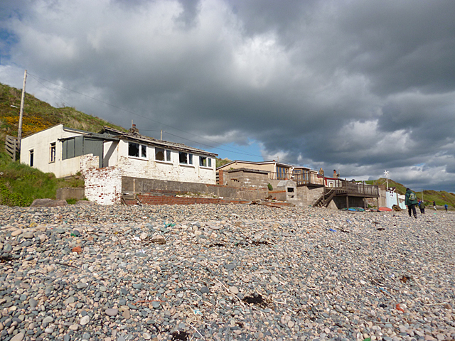 Nethertown BeachBeach / strand · 1119 yd
 The CaamstoneNamed rock · 1322 yd
 CastleCastle, tower house · 1569 yd
 The Chour / The Hill of the ChourMountain / peak · 1.3 mi
 Lifeboat MemorialMemorial · 1.6 mi
 Site of CastleCastle, unclassified · 1.6 mi