What is recorded here
Located on a slight W-facing slope c. 160m N of the motte (ME047-004----). Archaeological testing (09E0009) by D. Delaney on the site of a proposed house and driveway uncovered isolated archaeological features over most of the area (excavations.ie 2009:650). An area (dims c. 15m x c. 7m) was opened revealing a complex of linear features intersecting each other. There were two principal linear features (L 7.5m; Wth 0.65m) that were filled with charcoal-rich soils. One of these (L 3.55m; max. Wth 1.27m) cut a large E-W ditch (Wth 2.25m). Al these features were overlaid by narrow N-S furrows, and there were four post-holes. The area appeared to have been intensely used in the past. The features were not explored but were preserved in situ and the building proceeded on raft foundations laid over them, the laying of which was monitored by P. D. Sweetman under the same licence (excavations.ie 2009:651). (Delaney 2009)
Compiled by: Michael Moore
Date of upload: 24 January2022
Delany, D. and Doherty, B. 2009 Archaeological Test excavation at Monghalliagh, Clonard, County Meath. Phase II. Licence: 09E0009. Unpublished report, Dominic Delany and Associates
The monument record does not grant public access. Check the route and ask the landowner before entering private land.
- What survives
- Recorded monument
Places near here
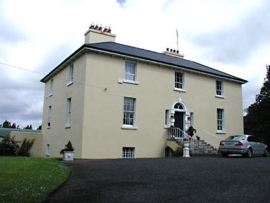 Glebe Houserectory/glebe/vicarage/curate's house · 209 yd
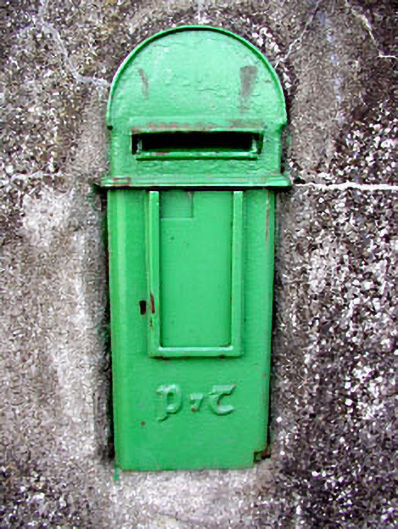 post boxpost box · 246 yd
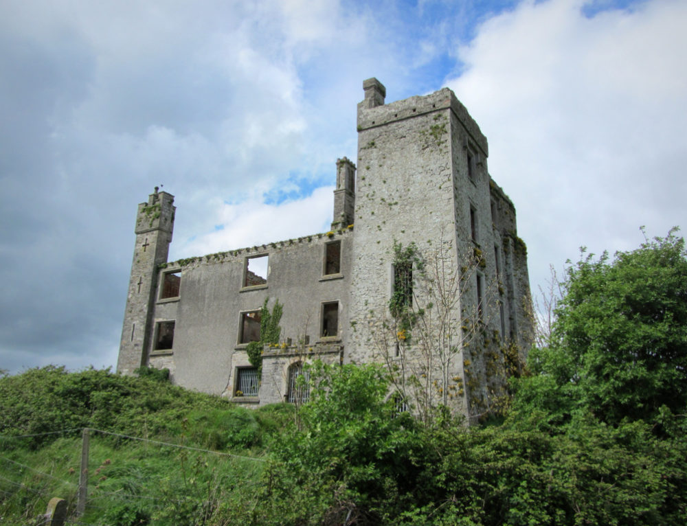 CastleCastle, ringwork · 355 yd
 Site of AbbeyChurch · 423 yd
 Field system in Anneville or Clonard OldField system · 450 yd
 Abandoned Kinnegad CanalWood · 1466 yd
 Croppies' GraveMemorial · 1.2 mi
 Queen Marys CastleCastle, tower house · 1.9 mi
 Rahin WoodsForest · 3.8 mi
 Cloncurry GraveyardHeritage attraction · 9.3 mi
 The Grill ShackHeritage attraction · 11 mi
 Lismahon 1798 MemorialMonument · 19 mi