What is recorded here
Under the forgotten carpark, a medieval garden wall still holds its shape, guarding charcoal-stained soil and goat bones from the thirteenth century. The 1960s asphalt crushed most of the neighbourhood, yet this narrow strip survived to reveal how quietly Limerick lived before apartments and traffic. Even the 18th-century well waited beneath the surface, built of rough limestone and red brick, as if the town had simply stopped paying attention instead of disappearing.
Archaeological testing carried out at Broad Street/Charlotte’s Quay (Rear of), by Ken Hanley under licence no. 01E0268, the results of which were summarised as following; 'Testing was carried out in advance of a proposed apartment development at the rear of Broad Street/Charlotte’s Quay. The site incorporated a 2240m2 area (roughly), flanked to the west by an extant portion of the town wall and to the east by White Wine Lane. The majority of the site was occupied by a 1960s tarmacadamed carpark. A small amount of archaeological investigation work carried out at the site in 1981 (Lynch 1984) had revealed a very limited amount of surviving medieval archaeology owing to the large-scale destruction caused by the insertion of the existing carpark.
The site was tested (Trenches 1–5) on 31 March and 1 April 2001. As expected, substantial damage had been caused by the insertion of the carpark, but a suspected 18th-century well and part of a late 13th/early 14th-century foundation wall were identified.
A limited amount of subsequent excavation and monitoring was carried out on 21 and 22 April 2001. The 12m (east–west) by 4.5m excavation area centred mainly on the limestone foundation wall (C.5), which was located at the northern end of the site at c. 5.31m OD. The wall (interpreted as a medieval garden wall) was c. 6.5m long (east–west) by 0.5–0.85m wide. At either end it consisted of only one course, but deepened to four courses towards the centre. The foundation fill consisted of a dark silty clay (C.10), traces of which were identified within the rubble core of the wall. The foundation cut directly into the natural subsoil.
To the immediate north-west of the wall was a small patch or spread of stony dark grey silty clay (C.17) with frequent charcoal flecks. This produced three sherds of green-glazed medieval pottery. The western end of the wall truncated a subcircular pit (C.12), which measured c. 1m by 0.79m (min.) by c. 0.23m deep. The base of the pit was filled with grey silty clay which produced fragments of oyster shell, horns (cattle and goat) and a single sherd of local green and brown glazed pottery. The upper fill consisted of c. 0.12m of dark brown silty clay with small fragments of cattle bone.
The only other archaeological feature encountered consisted of a subrectangular pit (C.15), 1.6m by 1.05m by c. 0.54m deep, c. 1m to the north-west of C.12. It was backfilled with a largely homogeneous deposit of mid/dark brown silty clay with frequent charcoal flecks and occasional shell fragments and some goat(?) and cattle horn. The pit did not produce any pottery. An 18th-century well (C.4), located at c. 6.05m OD in Trench 1, was photographed and planned but was not excavated. It was subcircular in plan and was constructed of roughly faced (internally) limestone blocks and smaller stones. Some hand-made red bricks were retrieved from the main body of the well during the initial site investigation. Both the excavated evidence and the cartographic evidence suggest that this area of Irish Town remained relatively undeveloped until well after 1600, and possibly after 1744' (www.excavations.ie).
Compiled by: Caimin O'Brien
Date of upload: 20 December 2019
The monument record does not grant public access. Check the route and ask the landowner before entering private land.
- What survives
- Recorded monument
Places near here
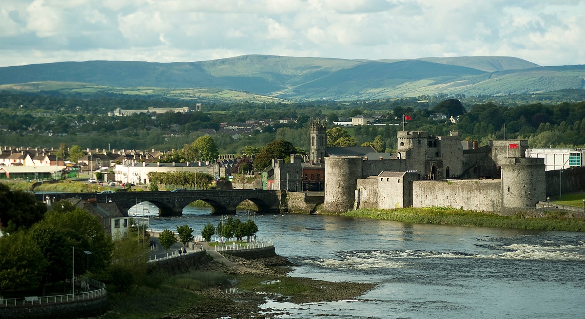 CastleCastle, unclassified · 80 yd
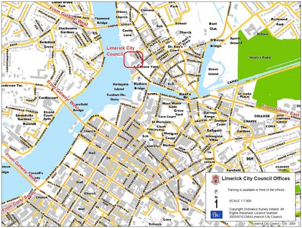 Grave YardGraveyard · 111 yd
 IndicatedHouse, indeterminate date · 127 yd
 Ball's Bridgebridge · 144 yd
 Burial ground in Limerick City,saint Francis AbbeyBurial ground · 213 yd
 Siege of Limericksiege · 230 yd
 OutlinedCastle, tower house · 275 yd
 Hunt MuseumMuseum · 302 yd
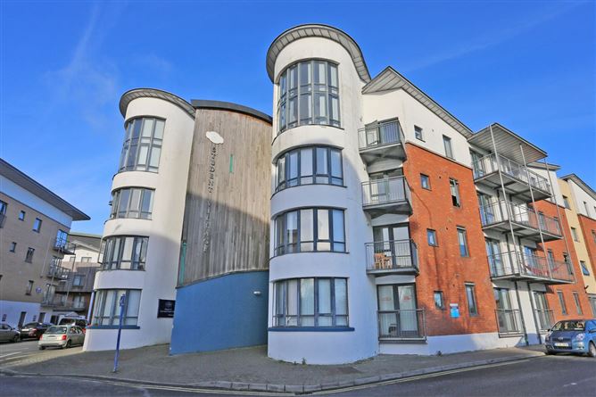 Grove IslandIslet · 359 yd
 The Singer from QuimperMemorial · 370 yd
 Bourke HouseHeritage attraction · 390 yd
 Sarsfield Memorialmonument · 426 yd