What is recorded here
Hot stones and burning water may have filled that shallow pit on the Kerry slope, though no one is certain what it served. Five wooden stakes still mark its base, waiting beneath the grass for hands busy enough to pull them free.
In pasture, on a S-facing slope. Archaeological excavation, prior to development works revealed an oblong pit (1.8m x 1.35m x 0.16m) which contained two fills (Dennehy 2002b, 147). The uppermost fill, which had inclusions of burnt limestone and fire-shattered stones, was very similar in composition to material retrieved from burnt mounds and five stake-holes had been vertically inserted into the base of the pit (ibid.). Dennehy states that, though the function of the pit is unknown, it is probable that, based on the excavation of similar features in Kerry (e.g. the possible fulacht fia at Bantaloon, KE029-234---- ), it belongs to the Bronze Age (ibid.). A second pit (KE093-130----) is c. 185m to the NW. (Dennehy 2001c)
The above description is derived from the published 'Archaeological Inventory of County Kerry. Volume I: South-West Kerry' (Dublin: Stationery Office, 2009). In certain instances the entries have been revised and updated in the light of recent research.
Date of upload: 30 May 2011
The monument record does not grant public access. Check the route and ask the landowner before entering private land.
- What survives
- Recorded monument
Places near here
 Burnt spread in KillowenBurnt spread · 428 yd
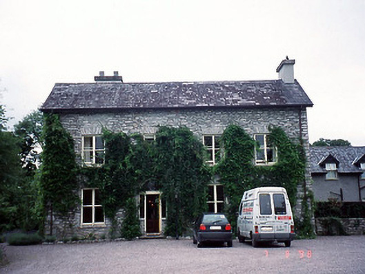 Shelburne Lodgehouse · 626 yd
 The Lodge WoodWood · 653 yd
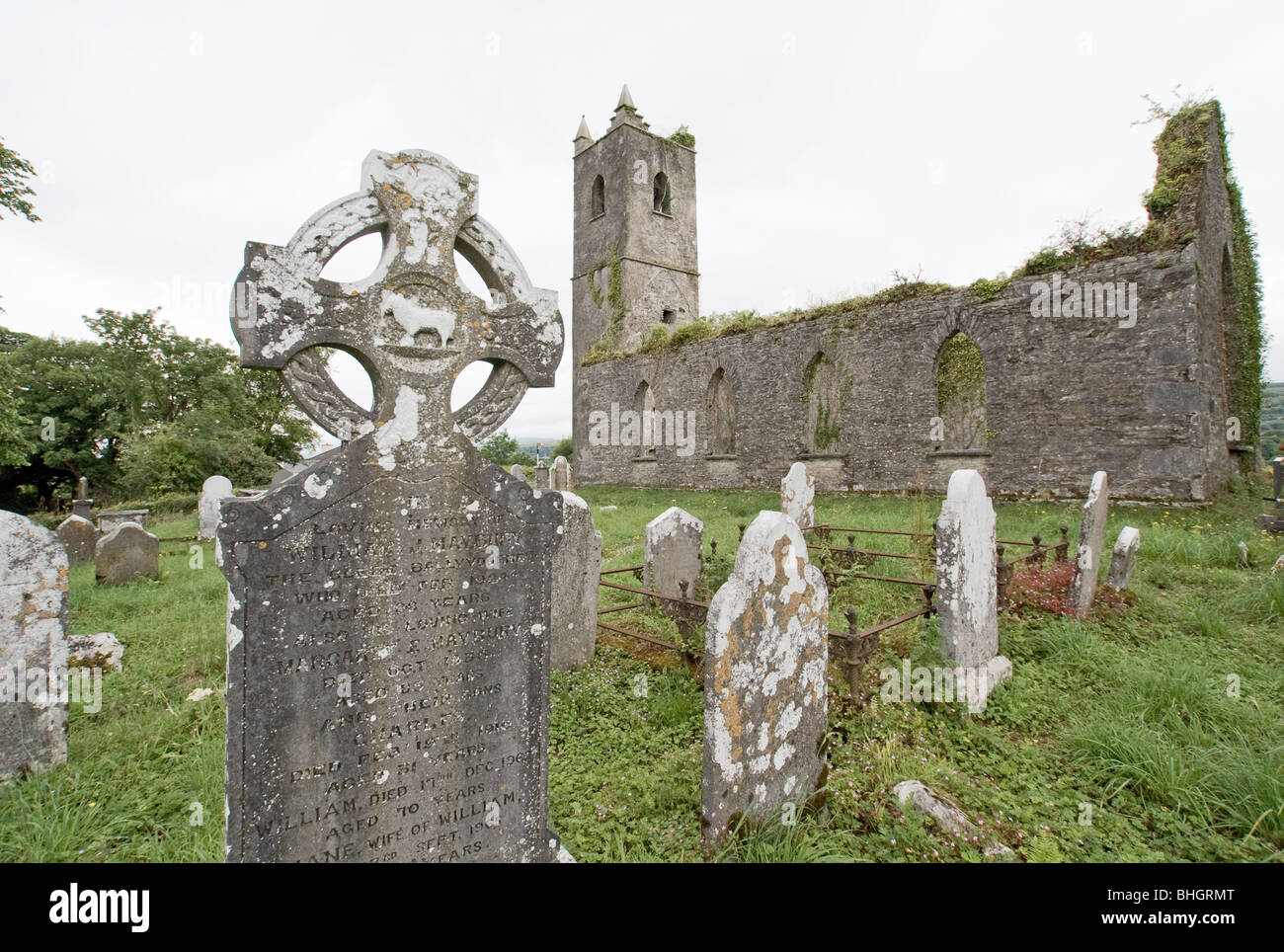 Man-made underground passage in KillowenMan-made underground passage · 680 yd
 Poor Clare's Conventconvent/nunnery · 691 yd
 Kenmare Tourist Information OfficeVisitor information · 877 yd
 Monterey CypressMonterey Cypress · 882 yd
 Kenmare Heritage Town - Main StreetMemorial · 917 yd
 Mill Cove Gallery / John Brennan StudioGallery · 951 yd
 Cleo GalleryGallery · 1105 yd
 StrickeenMountain / peak · 1652 yd
 CastleCastle, unclassified · 1.4 mi