What is recorded here
Kilcarrig is a rare layered place where Neolithic and Bronze Age lives overlap inside one small area. The pits, hearths and post-holes suggest people kept returning there, shaping it, remembering it. The quarry nearly erased that much sooner than anyone expected. What was dug out in 2007 is still doing work: it is proving that even an ordinary field can hold several centuries of human presence.
Initially identified (in Area A) during archaeological test trenching in advance of a quarry development in 2003 (Excavation Licence No. 03E1336) (Ó Drisceoil 2006, 24-5). Full excavation took place in 2007 (Excavation Licence No. 07E0962). A series of pits, hearths, post-holes and stakeholes were found in close proximity to a possible Neolithic structure (CW016-120007-) and a Bronze Age pit burial (CW016-120008-). (Clark and Kozlowska 2009, 15-17)
References:
Cagney L. 2010 Kilcarrig Multi-period industrial/occupation. In I. Bennett (ed.), Excavations 2007: summary accounts of archaeological excavations in Ireland, 22-3 (No. 108). Bray. Wordwell.
Clark L. and Kozlowska D. 2009 Kilcarrig Quarry Scheme. Final Report on Archaeological Investigations in the townland of Kilcarrig, Bagenalstown, Co. Carlow. Licence Number 07E0962. Headland Archaeology Ltd., Cork. Unpublished report, National Monuments Service, Department of Arts, Heritage and the Gaeltacht.
Ó Drisceoil C. 2006 Kilcarrig Testing. In I. Bennett (ed.), Excavations 2003: summary accounts of archaeological excavations in Ireland, 24-5 (No. 46). Bray. Wordwell.
Compiled by: Claire Breen
Date of upload: 19 January 2011
The monument record does not grant public access. Check the route and ask the landowner before entering private land.
- What survives
- Recorded monument
Places near here
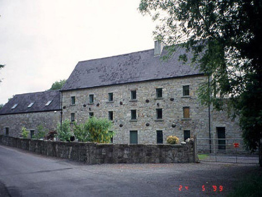 mill (water)mill (water) · 271 yd
 Enclosure in KilcarrigEnclosure · 940 yd
 Wych ElmWych Elm · 1026 yd
 CastleCastle, motte · 1284 yd
 Enclosure in BallymoonEnclosure · 1299 yd
 Dunleckny Churchchurch/chapel · 1347 yd
 Sweet ChestnutSweet Chestnut · 1380 yd
 Dunleckny Ho.Castle, unclassified · 1449 yd
 The Columban WayVisitor information · 1691 yd
 Lock Keeper's House and Lodge MillsVisitor information · 1.4 mi
 Church (in ruins), GraveyardChurch · 2.5 mi
 Church, GraveyardChurch · 2.9 mi