
What is recorded here
The following description is derived from the published 'Archaeological Inventory of County Carlow' (Dublin: Stationery Office, 1993). In certain instances the entries have been revised and updated in the light of recent research.
Date of upload/revision: 17 July 2007
Shown on 1839 'OS 6-inch' map as substantial circular enclosure with two banks. The 1938-9 OS 6" map shows large platform (c. 70m E-W, 50m N-S) depicted by hachures. No visible surface trace; levelled after 1969.
The monument record does not grant public access. Check the route and ask the landowner before entering private land.
- What survives
- Recorded monument
Places near here
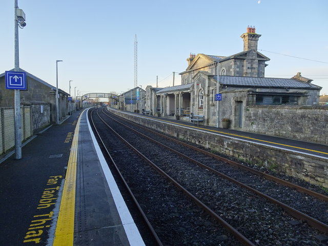 Bagenalstown Railway Stationfoot bridge · 746 yd
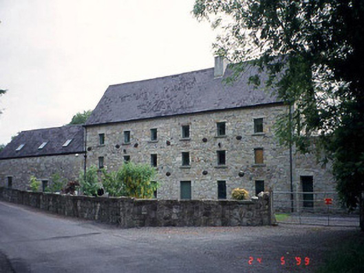 mill (water)mill (water) · 888 yd
 Wych ElmWych Elm · 925 yd
 The Columban WayVisitor information · 1169 yd
 Enclosure in KilreeEnclosure · 1371 yd
 Kilmolappoge Church (site of), Kilmolappoge WellChurch · 1418 yd
 Sweet ChestnutSweet Chestnut · 1.1 mi
 Lock Keeper's House and Lodge MillsVisitor information · 1.1 mi
 CastleCastle, motte · 1.1 mi
 Dunleckny Ho.Castle, unclassified · 1.1 mi
 Church (in ruins), GraveyardChurch · 2.0 mi
 Church, GraveyardChurch · 2.9 mi
Other information
Photo: Credit not shown in the picture search · Rights wording not checked; contact us if this picture should be removed