What is recorded here
Excavation of Monitoring Site 22 along the route of the N11 Newtownmountkennedy–Ballynabarny Road Scheme was carried out over four days. The site, which was identified during monitoring of topsoil-stripping as an area of burning, was adjacent to an existing road, near the top of a small hill, on the west-facing slope. Excavation revealed a small pit, c. 2m long and 2m wide, filled with charcoal-rich material (Bennett 2004, 541).
Date of upload: 01 October 2012
The monument record does not grant public access. Check the route and ask the landowner before entering private land.
- What survives
- Recorded monument
Places near here
 Enclosure in RathmoreEnclosure · 419 yd
 Enclosure in KilloughterEnclosure · 539 yd
 Trinity Grave YardChurch · 1035 yd
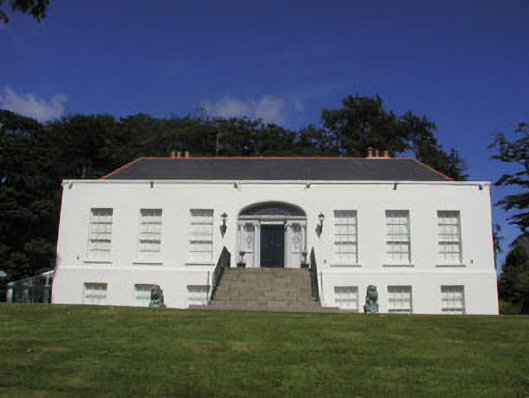 Killoughter Housecountry house · 1264 yd
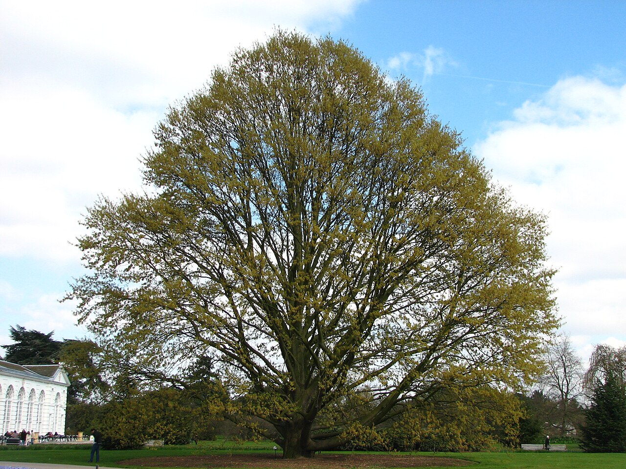 Chestnut-leaved OakChestnut-leaved Oak · 1.4 mi
 American SweetgumAmerican Sweetgum · 1.4 mi
 CastleCastle, ringwork · 1.8 mi
 Devil's Glen WaterfallWaterfall · 3.2 mi
 Castle (in Ruins)Castle, ringwork · 3.3 mi
 Carrick MountainMountain / peak · 4.3 mi
 Leamore StrandBeach / strand · 4.5 mi
 Glen Beach Cliff WalkWalking route · 5.0 mi