What is recorded here
Situated on a SE-facing slope. Archaeological monitoring (05N0123) identified an oval pit (dims 3.15m N-S; 1.65m E-W; D 0.3m plus), the upper part of which was filled with brown silty clay that had charcoal flecks and some stones. The feature was preserved in situ (Kearns and Noonan 2005, 8).
Compiled by: Michael Moore
Date of upload: 4 February, 2014
The monument record does not grant public access. Check the route and ask the landowner before entering private land.
- What survives
- Recorded monument
Places near here
 Site of R.C. ChapelChurch · 131 yd
 St. Helens WellHoly well · 131 yd
 Sandeel BayBeach / strand · 441 yd
 mill (wind)mill (wind) · 903 yd
 Houseland Castle (in ruins)Castle, tower house · 926 yd
 All Saints' Catholic Churchpresbytery/parochial/curate's house · 1063 yd
 Otter HoleBeach / strand · 1391 yd
 IndicatedCastle, ringwork · 1.2 mi
 Long RockNamed rock · 1.6 mi
 Baginbun HeadHeadland · 2.4 mi
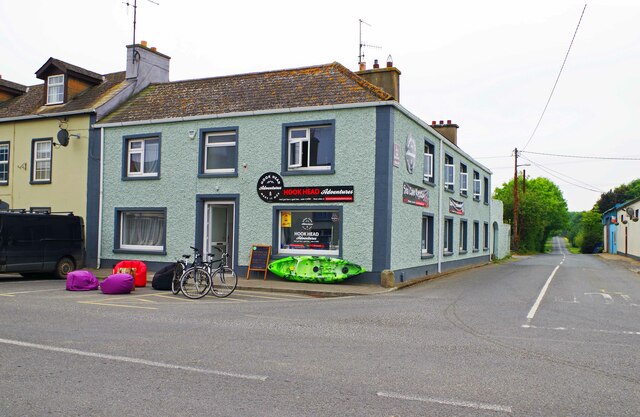 Hook Tourism (Fethard Office)Visitor information · 2.6 mi
 AshgroveVisitor information · 2.7 mi