What is recorded here
Located on a slight N-facing slope. Archaeological testing (02E1358) by Donald Murphy identified a number of features that were not sampled (excavations.ie 2002:1453). A N-S ditch (Wth 0.65m) filled with a dark brown clay that had occasional flecks of charcoal and bone was encountered close to the R125 Ratoath to Dunshaughlin Road. A small pit (diam. 0.48m) with a top fill of loose black clay was c. 10m to the W. There was also a wider N-S ditch (Wth c. 3m) filled with a compact, dark-brown clay with occasional flecks of charcoal further E that appeared in two trenches. In the same area was a slightly curving trench (L 4.8m; Wth 0.45m) filled with a dark brown soil with charcoal inclusions. Soil-stripping in the area at S close to the road was monitored (06E0603) by G. Dunne when some furrows, gullies and stake-holes were recorded (excavations.ie:2006:1588).
Compiled by: Michael Moore
Date of upload: 4 May 2022
The monument record does not grant public access. Check the route and ask the landowner before entering private land.
- What survives
- Recorded monument
Places near here
 Ecclesiastical enclosure in DunshaughlinEcclesiastical enclosure · 230 yd
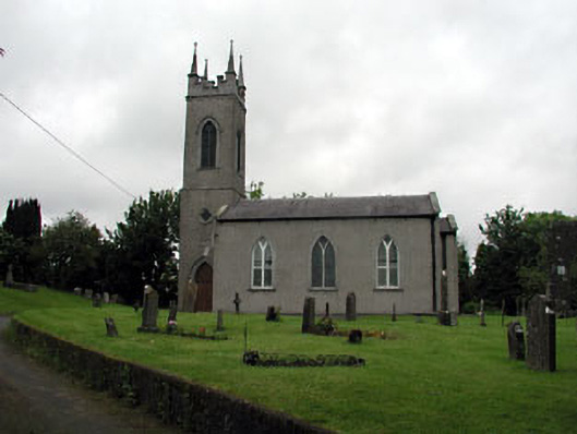 Saint Seachnall's Church (Dunshaughlin)church/chapel · 251 yd
 Church (Site of)Church · 253 yd
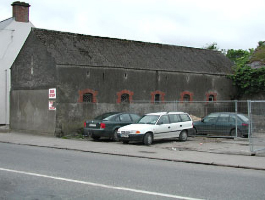 outbuildingoutbuilding · 426 yd
 Killeen CastleCastle, tower house · 2.6 mi
 Laurel WoodsWood · 3.5 mi
 Dunsany CastleCastle, unclassified · 3.6 mi
 The Pond WoodWood · 3.6 mi
 Lismahon 1798 MemorialMonument · 3.8 mi
 Emerald ParkHeritage attraction · 3.8 mi
 Candle HillMountain / peak · 4.9 mi
 Battle of Tara Hillbattle · 5.2 mi