What is recorded here
Located at the bottom of a SE-facing slope in the flood-plain of the NE-SW River Bann with the stream c. 500m to the SE. Archaeological monitoring (98E0132) in advance of building new sewage works identified a pit that was completely excavated under the same licence. The pit (diam. 3.55m; D 0.9m) was cut or re-cut and used for firing on four separate occasions. There were intervals of silting between each episode before the pit was sealed with a layer of stones. No artefacts were recovered, but a sample of oak yielded a C14 date of 3215 +- 45 BP (1310-1220 BC). The ditch-barrow (WX015-068----) is c. 20m to the N. (Ryan 2000; Ryan and Henry 2000, 301-02)
Compiled by: Michael Moore
Date of upload: 2 May, 2012
The monument record does not grant public access. Check the route and ask the landowner before entering private land.
- What survives
- Recorded monument
Places near here
 EnclosureEnclosure, large enclosure · 182 yd
 Enclosure in Ferns LowerEnclosure · 373 yd
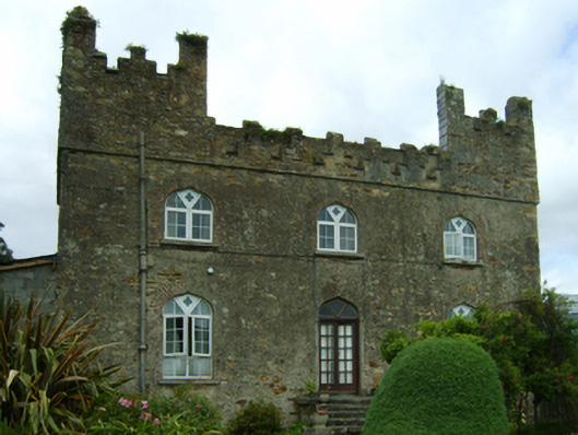 Killoggy Castlefarm house · 374 yd
 St. Augustines Monastery (in ruins)Religious house, Augustinian canons · 452 yd
 Ferns Castle (in ruins)Castle, Anglo-Norman masonry castle · 984 yd
 Coolroe WoodForest · 1.2 mi
 CastleCastle, unclassified · 1.3 mi
 Kilbora WoodForest · 1.4 mi
 Milshoge RockMountain / peak · 3.7 mi
 Giants BedNamed rock · 3.7 mi
 Father Murphy CentreHeritage attraction · 4.2 mi
 Carrigroe HillMountain / peak · 4.2 mi