What is recorded here
Death and memory are entangled there. The living built a graveyard above older marks, and those marks still lie beneath the new ground. To excavate the place is to ask whether the dead belong to one time or several. The answer may be that they belong to all the times the ground has held them.
Archaeological testing (96E0118) in advance of a graveyard extension explored an area (dims c. 70m E-W; c. 30m N-S) S of the old graveyard and encountered features in each of five NNE-SSW trenches. Amongst these is a fosse or drain (Wth of top 1.1m; D 0.4m) that might be extending E-W across the entire area and a number of pits (diam. 1.5m; D 0.6m to diam. 3m; D 0.5m). The graveyard extension was placed further N of the old graveyard and the archaeological features in that area (ME011-037001-) are now largely preserved beneath a parking area. (Meenan 1996; 1996a; 1997)
Compiled by: Michael Moore
Date of upload: 9 April, 2019
The monument record does not grant public access. Check the route and ask the landowner before entering private land.
- What survives
- Recorded monument
Places near here
 ChapelChurch · 63 yd
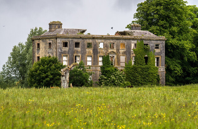 Williamstowncountry house · 343 yd
 Addie's WoodWood · 345 yd
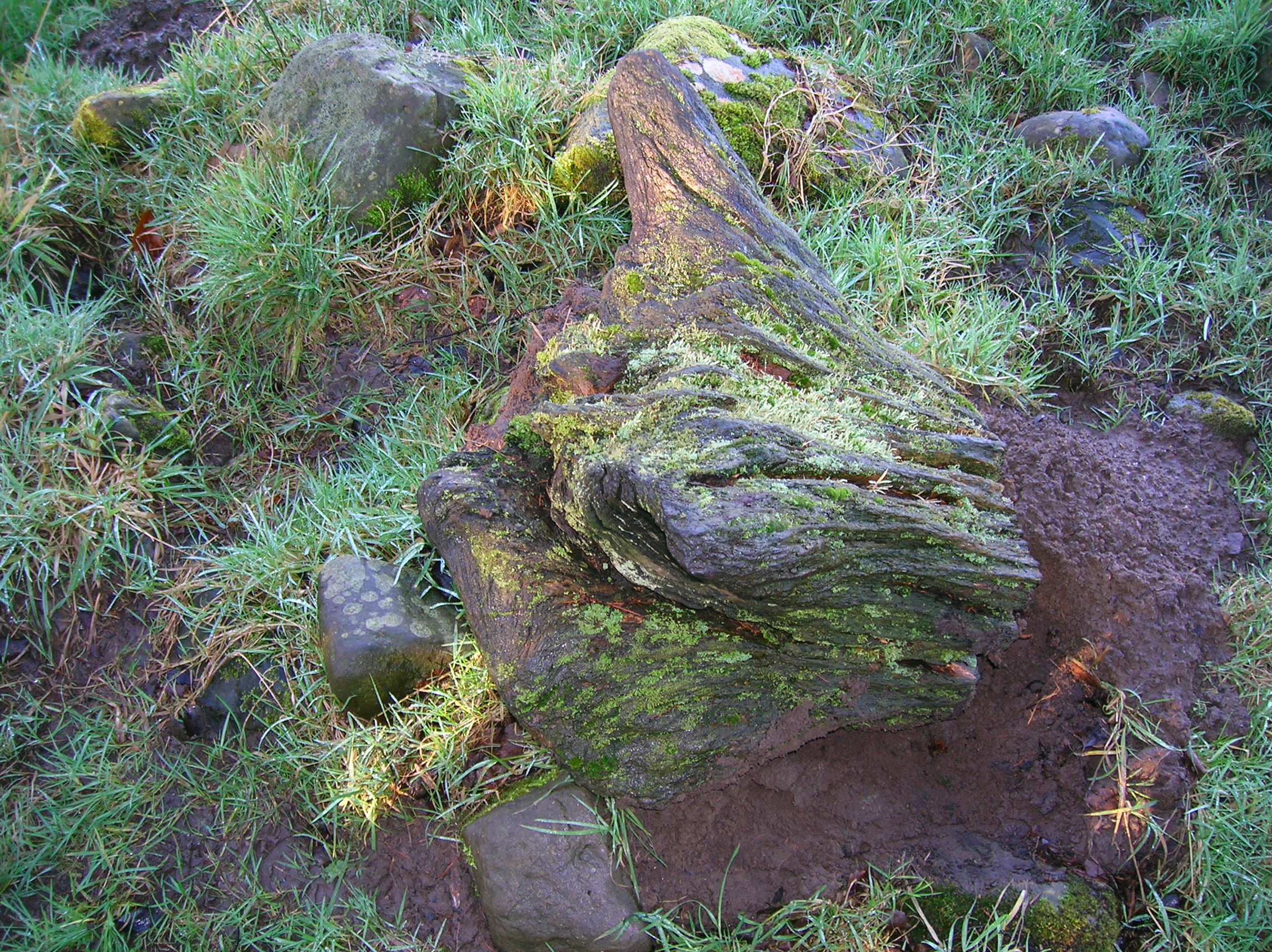 Zephyr Bog WoodWood · 808 yd
 Standing StoneArchaeological place · 1699 yd
 MountainpoleMountain / peak · 1733 yd
 Kells Anglers Association MemorialMemorial · 1.3 mi
 Fulacht fia in Archdeaconry GlebeFulacht fia · 1.4 mi
 John Mac MahonMemorial · 1.6 mi
 CastleCastle, unclassified · 1.8 mi
 DeerparkMountain / peak · 1.8 mi
 Black WoodWood · 822 yd