What is recorded here
'Monitoring of all ground disturbance aspects of the entrance and a roads within the area of Kerry Technology Park was undertaken to comply with a planning condition. Four pits were excavated on the line of the access road. Pit 1 [KE029-231----] measures 0.48m north-south by 0.44m and was 0.26m deep. A narrow flue extended from the north-west side and under the baulk. The pit contained cremated bone fragments, which have been identified by Catryn Power as representing the bones of at least one adult individual. The sex could not be determined. Pit 2 [KE029-231001-] measured 0.6m north-south by 0.4m and was 0.12m deep. Pit 3 [KE029-249----] measured 0.7m north-south by 0.45m and was 0.3m deep. Pit 4 [KE029-250----] measured 1.72m north-south by 4.14m and was 0.24m deep. A flue extended from the western side of the pit. It measured 0.35m north-south by 2.2m and was 0.14m deep.'
Description from ‘The Prehistoric Settlement of the Lee Valley, Tralee, Co. Kerry; A Landscape Perspective’ by Michael Connolly. PhD Thesis UCC 2008
Date of upload: 22 June 2012
The monument record does not grant public access. Check the route and ask the landowner before entering private land.
- What survives
- Recorded monument
Places near here
 Enclosure in BallybegganEnclosure · 669 yd
 Enclosure in Muing WestEnclosure · 734 yd
 CastleCastle, tower house · 1024 yd
 Monterey PineMonterey Pine · 1362 yd
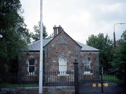 Collis-Sandes Housegate lodge · 1394 yd
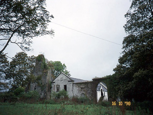 Woodlawnhouse · 1426 yd
 Crimea Cannon and War MemorialMonument · 1.9 mi
 Civil War MemorialMemorial · 1.9 mi
 John Hurley GalleryGallery · 2.0 mi
 Castle MacallistrumCastle, unclassified · 2.0 mi
 Kerry County MuseumMuseum · 2.1 mi
 Tralee Bay Wetlands Eco and Activity ParkNature reserve · 2.6 mi