What is recorded here
Identified in 2001 through the monitoring of topsoil-stripping on the eastern slope of Boston Hill (OD 538 feet) to facilitate the expansion of a quarry (Excavations 2001, No. 638, 01E0916: www.excavations.ie). Archaeological deposits were uncovered in seven areas: Area 1 (Designated KD017-052----), Area 2 (Designated KD017-050----), Area 3 (Designated KD017-051----), Area 4 (Designated KD017-053----), Area 5 (Designated KD017-054----), Area 6 (Designated KD017-055----) and Area 7 (Designated KD017-056----). According to the excavator (SMR file), 'Following discussions with the client, it has been established that quarry works will not impact upon Areas 2 to 7 for an estimated 30 years. It may therefore be possible to provide archaeological mitigation for these areas in the form of preservation in situ.'
Area 7 (KD017-056----) was in the south-western part of the site. Twelve features were revealed and these were widely dispersed within an area of 2,500m2. There appeared to be a focus of activity represented by Features A-F. These consisted of anomalous subsoil-cut features containing charcoal inclusions. Areas of in situ burnt soil and possible pits were located in the surrounding area. There was burnt stone within Feature I, and Feature J contained one piece of possible prehistoric pottery.
Compiled by: Gearóid Conroy
Date of upload: 10 June 2011
The monument record does not grant public access. Check the route and ask the landowner before entering private land.
- What survives
- Recorded monument
Places near here
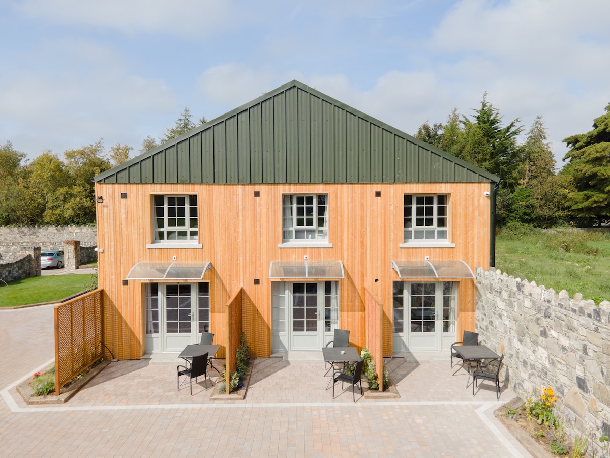 Enclosure in ConlanstownEnclosure · 463 yd
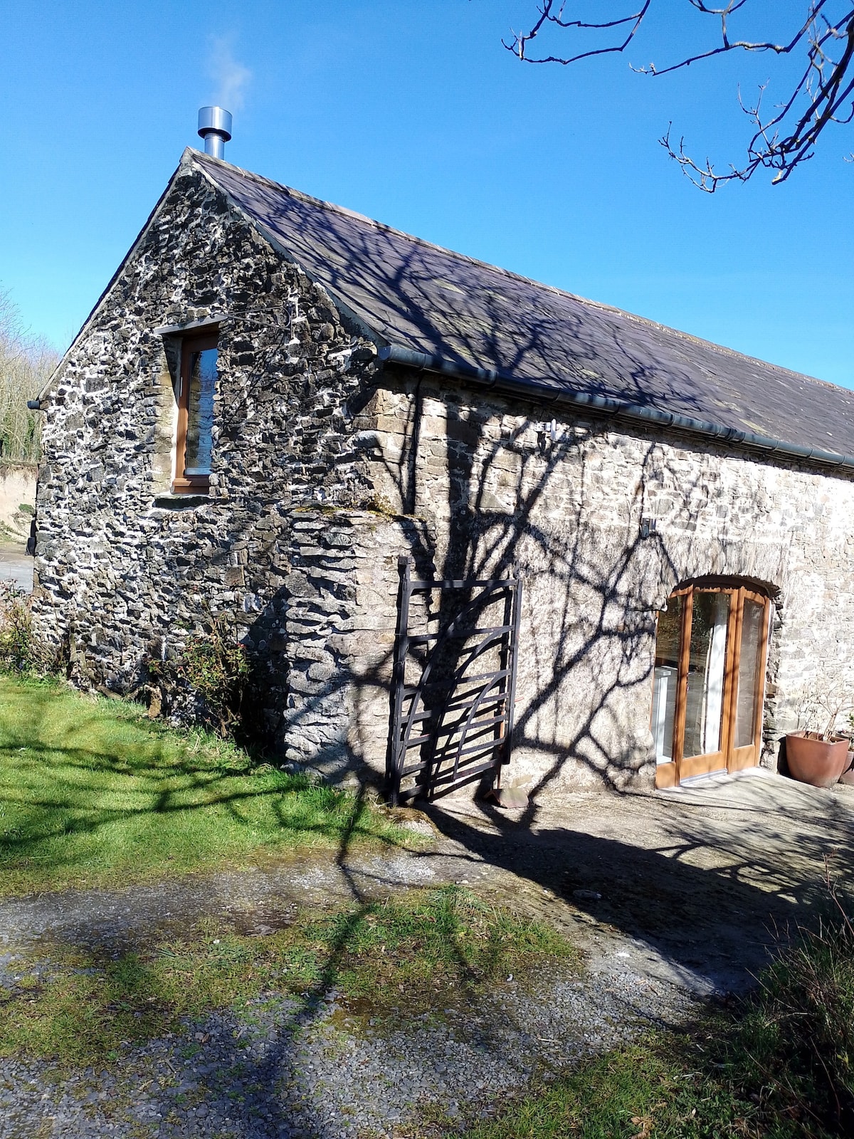 Enclosure in Kilmoney NorthEnclosure · 1286 yd
 Church in Kilmoney NorthChurch · 1435 yd
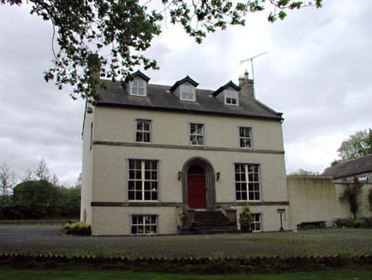 Glebe Houserectory/glebe/vicarage/curate's house · 1750 yd
 Chair of KildareCastle, unclassified · 1.3 mi
 Bithia Mary CrokerMemorial · 2.8 mi
 Site of CastleCastle, tower house · 3.0 mi
 Community OrchardNature reserve · 3.1 mi
 Killinthomas Wood (Rathangan)Wood · 3.3 mi
 Lullymore Heritage ParkHeritage attraction · 3.6 mi
 The Fairy BowerHeritage attraction · 3.6 mi
 Grand Canal WayVisitor information · 5.9 mi