What is recorded here
Situated on an E-facing slope, and now at the edge of a roundabout. Archaeological testing (Excavation Licence 01E0900) in advance of the Tramore ring-road identified archaeological features in Area 4. Three small pits (dims. c. 0.2-0.5m; D 0.05-0.22m) were identified, some containing burnt bone, and three undiagnostic lithics were recovered. (Tierney and Power 2001, 6-8)
Tierney, J. and Power, K. (2001) Archaeological excavation report. Phase 4. Tramore Ring Road, Co. Waterford. Unpublished report. Eachtra Archaeological Projects.
Compiled by: Michael Moore
Date of upload/revision: 27 May 2011
The monument record does not grant public access. Check the route and ask the landowner before entering private land.
- What survives
- Recorded monument
Places near here
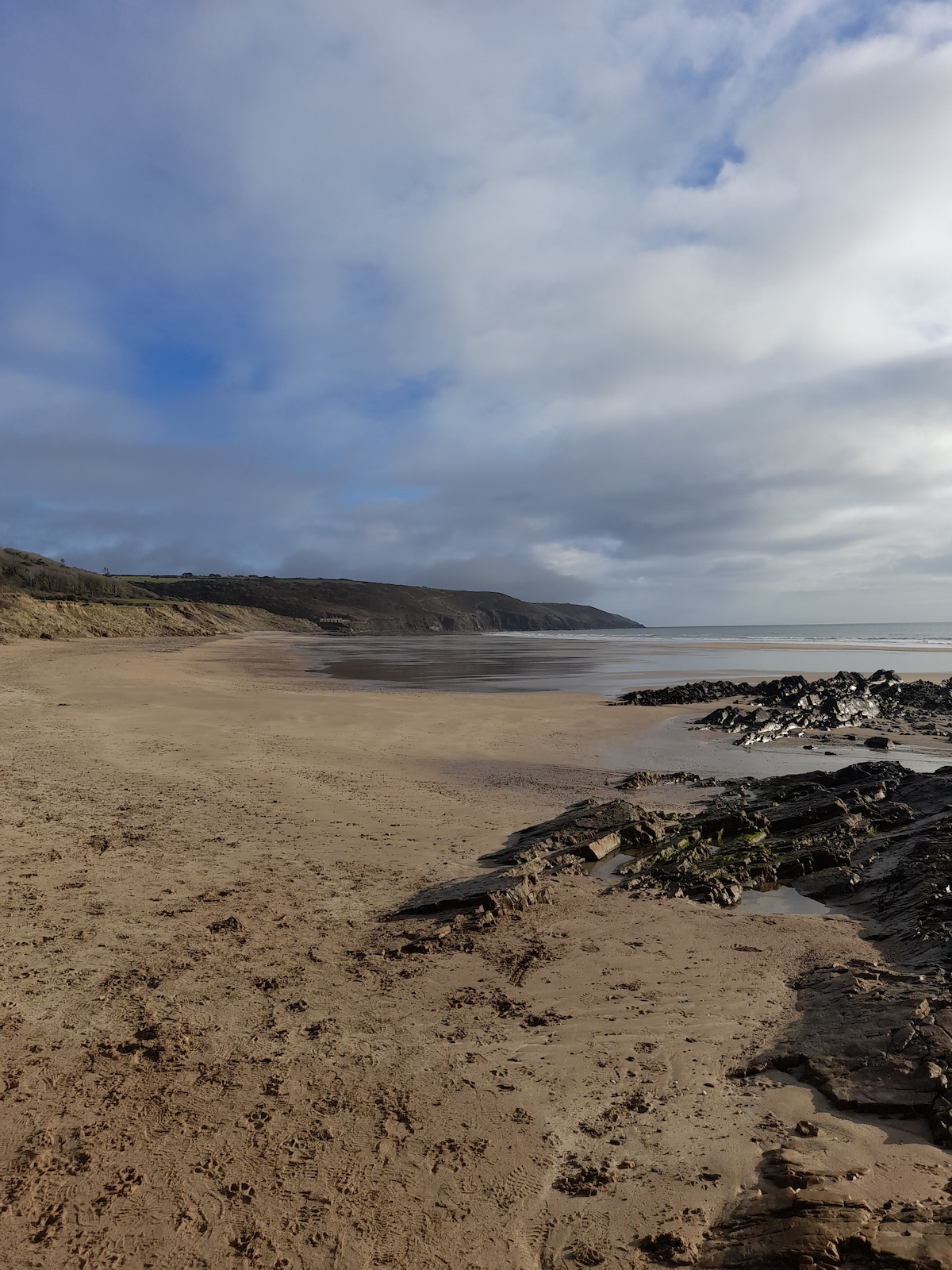 Enclosure in Crobally Upper (middlethird By.)Enclosure · 99 yd
 Pit-burial in Crobally Upper (decies-Within-Drum By.)Pit-burial · 100 yd
 Spring Farmhouse · 143 yd
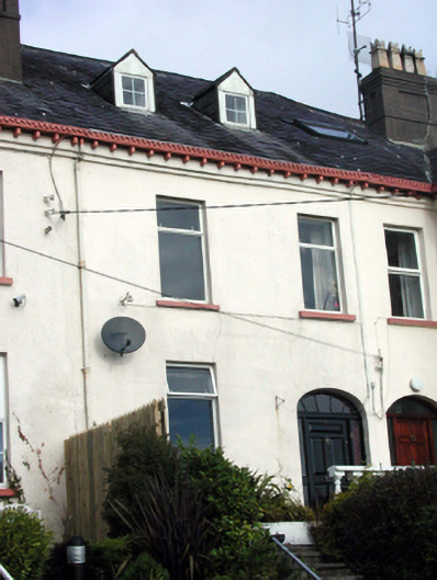 Knockeatonhouse · 503 yd
 Tramore Tourist OfficeVisitor information · 938 yd
 Tourist InformationVisitor information · 1142 yd
 Cannon GunBattlefield · 1674 yd
 Tramore Dunes WalkWalking route · 1680 yd
 Doneraile WalkWalking route · 1.0 mi
 Tramore StrandBeach / strand · 1.6 mi
 Cullen Castle (in ruins)Castle, tower house · 1.7 mi