What is recorded here
On an elevated position on a gentle SE sloping pasture within naturally outcropping hillocks of limestone. Excavated in 2007 in advance of the N9/N10 Kilcullen to Waterford road improvement scheme (Licence no. E3404). A subcircular feature (L 1.62m; Wth 1.2m; D 0.16m) with concave sides and a U-shaped base sealed by an oxidized layer of material may have functioned as a hearth. A total of 101 charcoal fragments were analysed from the fill. Although hearths filled with oak charcoal are known from the medieval period, results from prehistoric sites show that oak charcoal is almost invariably associated with funerary ritual, suggesting that the feature may be associated in some way with the flat cemetery (KK031-089----) c. 50m to the SE. An oval pit (L 0.9m; Wth 0.59m; D 0.24m) and an irregular pit (L 0.8m; Wth 0.6m; D 0.15m) were also recorded. (Monteith 2010a; Monteith 2010b, 237, no. 893; Monteith 2010c, 237, no. 894)
Compiled by: Mary Tunney
Date of upload: 13 November 2013
The monument record does not grant public access. Check the route and ask the landowner before entering private land.
- What survives
- Recorded monument
Places near here
 Gorman's Cottagefarmyard complex · 607 yd
 Carrickshock MemorialMonument · 664 yd
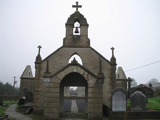 Catholic Church of the Most Holy Trinitychurch/chapel · 1068 yd
 CastleCastle, tower house · 1629 yd
 Church (in Ruins), GraveyardChurch · 1.0 mi
 Kilcurl Church RuinArchaeological place · 1.0 mi
 Enclosure in HugginstownEnclosure · 1.0 mi
 Aghaviller Castle (in ruins)Castle, tower house · 1.5 mi
 Castlemorris Pheasant LoopWalking route · 1.7 mi
 Castlemorris WoodForest · 1.7 mi
 Turkey OakTurkey Oak · 3.7 mi
 Holy WellSpring · 5.1 mi