What is recorded here
Excavated by Brian Halpin (02E0550) after 'topsoil-stripping on Bord Gáis Éireann's Pipeline to the West uncovered a series of irregularly shaped pits and cuts in Commons townland, Co. Limerick. The site measured 6.8m north-south by 9.6m and lay in well-drained pastureland. Most of the pits were filled with the charcoal and heat-shattered stones that are associated with burnt-mound material. None of the pits appeared to be the remains of a trough. Some of the features seemed to be natural undulations, which had accumulated the burnt material through natural deposition. There is a possibility that one large pit, which measured 2.19m east-west by 1.36m and was 0.45m deep, was a roasting pit. All of the features were cut into a yellow/orange boulder clay. The largest measured a maximum of 2.8m east-west by 3.4m. None was particularly deep, and it is possible that they were refuse pits that accumulated burnt material from firings in the possible roasting pit or an adjacent fulacht fiadh site that was not encountered in the pipeline corridor.'
The above description is posted on the web at the following internet address: http://www.excavations.ie/ (accessed 22 August 2012).
Compiled by: Denis Power
Date of upload: 22 August 2012
The monument record does not grant public access. Check the route and ask the landowner before entering private land.
- What survives
- Recorded monument
Places near here
 Fulacht fia in Commons (connello Upper By.)Fulacht fia · 2 yd
 IndicatedFairy fort / earthen ringfort · 940 yd
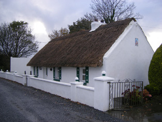 Leprechaun Cottagehouse · 952 yd
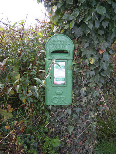 post boxpost box · 958 yd
 Kilfinny CastleCastle · 1574 yd
 Bawn in FinniterstownBawn · 1.1 mi
 Flat cemetery in Kiltenan SouthFlat cemetery · 1.2 mi
 Kinnoor WellSpring · 1.3 mi
 Dysert AenghusaHeritage attraction · 2.7 mi
 KnockfeerinaMountain / peak · 2.9 mi
 Famine stoneMemorial · 2.9 mi
 GinkgoGinkgo · 3.3 mi