What is recorded here
Identified in monitoring (03E1374) a road project during 2003 (Haliday 2006, 424, site 4) and completely excavated (03E1770). A working floor (dims c. 5m x c. 4m) with a number of small pits was covered in charred organic material and baked clay (Quinney et al. 2004, 9, site 4). Another excavated feature (RO011-164002-) is c. 10m to the S.
Compiled by: Michael Moore
Date of upload: 24 August 2010
The monument record does not grant public access. Check the route and ask the landowner before entering private land.
- What survives
- Recorded monument
Places near here
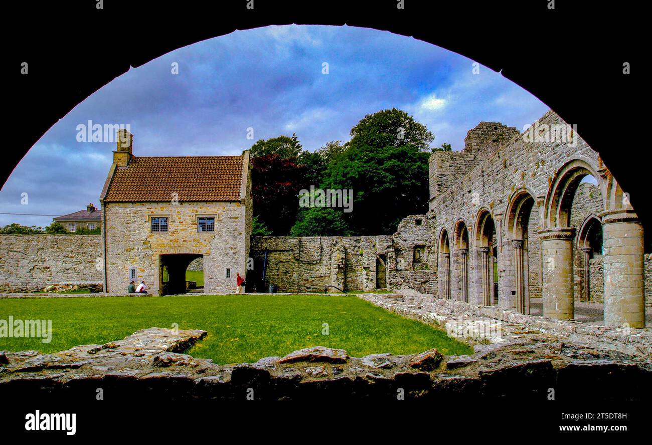 Embanked enclosureFairy fort / earthen ringfort · 1082 yd
 Not inidcatedFairy fort / earthen ringfort · 1507 yd
 Hughestown WoodForest · 1553 yd
 Church (in Ruins)Church · 1.1 mi
 Penal Mass station in MacnadillePenal Mass station · 1.6 mi
 Moon RiverHeritage attraction · 2.1 mi
 CastlecarraCastle, unclassified · 3.4 mi
 PortCastle, unclassified · 3.6 mi
 Battle of Áth an Chipbattle · 4.2 mi
 Horse-chestnutHorse-chestnut · 4.4 mi
 Shannon-Erne WaterwayVisitor information · 4.4 mi
 InishnagonIsland · 5.0 mi