What is recorded here
Cloghermore hides six circular furnaces and pits beside the N21 re-routing, some holding iron slag and charcoal while one preserved burnt red sandstone. The oldest date reaches 3500 years before present, but two others cluster near 1750 years before present, suggesting metalwork continued long after the first fire. The road nearly covered the evidence, yet the stones still smell of heat and human urgency.
'Owing to the importance of the limestone reef at Cloghermore as a probable cave burial site [KE030-089----] it was proposed to monitor this area before the N21 re-routing, i.e. that part of the road that ran near the outcrop. Six features of archaeological significance were uncovered. They appeared to be evidence of industrial activity such as iron smelting and were in the form off furnaces and pits. All the features were found to be circular in plan and ranged in diameter from 0.55m to 1.45m. Four of the features contained various amounts of iron slag and charcoal. One pit contained burnt red sandstone and charcoal but no slag. The remaining pit was filled with topsoil and may have been deliberately emptied in antiquity. It is likely that it too was used in some metalworking activity, owing to the evidence of intensive burning in the form of baked boulder clay. The only pit containing burnt and shattered stone produced a relatively early date of 3500+/-70 BP, while two other dates from separate pits/furnaces produced later dates of 1780+/-80 Bp and 1740+/-60 BP.'
Description from ‘The Prehistoric Settlement of the Lee Valley, Tralee, Co. Kerry; A Landscape Perspective’ by Michael Connolly. PhD Thesis UCC 2008
Date of upload: 24 July 2012
The monument record does not grant public access. Check the route and ask the landowner before entering private land.
- What survives
- Recorded monument
Places near here
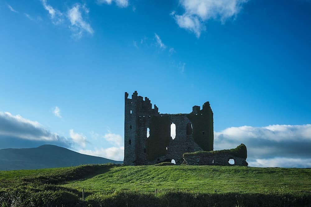 Enclosure in BallyfinogeEnclosure · 872 yd
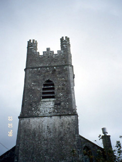 Ballymacelligott Churchchurch/chapel · 885 yd
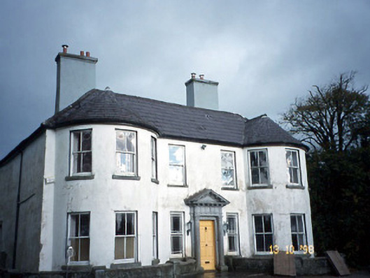 Arabela Househouse · 1012 yd
 Site of McElligotts CastleCastle, unclassified · 1021 yd
 Field system in BallymacthomasField system · 1057 yd
 PoulatouirtCave · 1615 yd
 Poulclashcannon (blocked)Cave · 1.1 mi
 Bealagrellagh CastleCastle · 1.1 mi
 Common AlderCommon Alder · 1.6 mi
 CruslineMountain / peak · 3.8 mi
 Civil War MemorialMemorial · 3.9 mi
 Crimea Cannon and War MemorialMonument · 4.3 mi