What is recorded here
Located on a SE-facing slope c. 140m SE of Ferns Castle (WX015-003001-). Archaeological testing (95E0067) uncovered one shallow pit (L. c. 2.3m; Wth c. 0.5m; D 0.3m) containing over 800 sherds of medieval coarse ware representing at least 8 vessels. There was no evidence of burning and the sherds are not wasters. (Gowen 1996)
Gowen, M. (1996) Castleland, Ferns. Medieval urban. in I. Bennett, Excavations 1995. Summary accounts of archaeological excavations in Ireland, 87-8, No. 273. Wordwell. Bray
Compiled by: Michael Moore
Date of upload: 30 April, 2012
The monument record does not grant public access. Check the route and ask the landowner before entering private land.
- What survives
- Recorded monument
Places near here
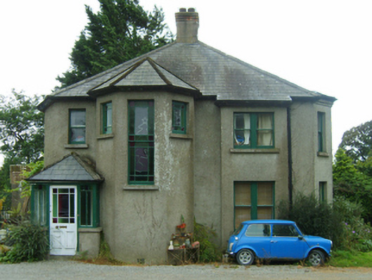 Knockardaghhouse · 63 yd
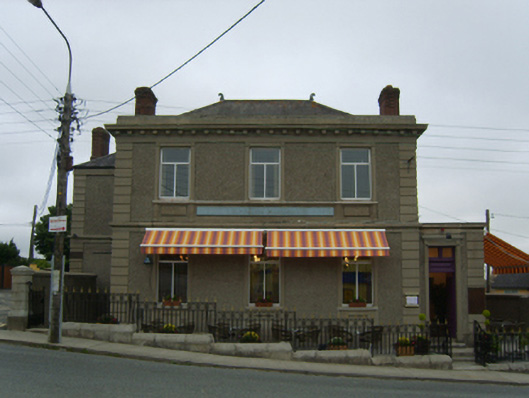 Bank of Irelandbank/financial institution · 118 yd
 Ferns Castle (in ruins)Castle, Anglo-Norman masonry castle · 174 yd
 CrossCross, High cross (present location) · 193 yd
 Hut site in Ferns UpperHut site · 295 yd
 CastleCastle, unclassified · 1736 yd
 Coolroe WoodForest · 1.2 mi
 Coolpuck WoodForest · 1.3 mi
 Milshoge RockMountain / peak · 4.0 mi
 Giants BedNamed rock · 4.1 mi
 Carrigroe HillMountain / peak · 4.6 mi
 Father Murphy CentreHeritage attraction · 4.6 mi