What is recorded here
Situated c. 130m N of the 17th-century parish church (CL061-011001-) within the zone of archaeological potential at the historic town of Bunratty (CL061-001----). Excavation in connection with proposed housing development (Wiggins 2000) revealed a large pit (3m N-S; min. 0.88m E-W but continuing beyond the cutting; D 0.65m) with an infill of black silty clay with some stones and scattered animal bones and a few fragments of burnt bone. A small sherd of 16th century Beauvais sgraffito was also recovered. The section revealed that the pit appears to be cut into the infill of an earlier pit. The pit lies outside the suggested limits of the medieval borough (see Town Defences CL061-011003-) but within the enlarged urban limits as defined by the 17th century ditch sampled by Bradley and King in 1990 (Wiggins 2000, 8).
Compiled by: Mary Tunney
Date of upload: 2 October 2019
The monument record does not grant public access. Check the route and ask the landowner before entering private land.
- What survives
- Recorded monument
Places near here
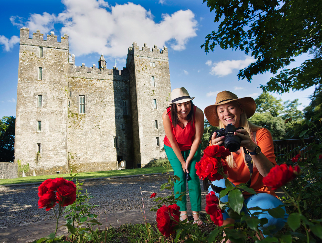 Town defences in Bunratty East,bunratty WestTown defences · 89 yd
 Grave Yd.Graveyard · 188 yd
 Bunratty Castlehouse · 245 yd
 Bunratty Castle and Folk ParkHeritage attraction · 283 yd
 IndicatedBawn · 327 yd
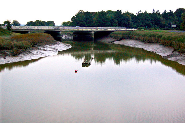 Bunratty Bridgebridge · 401 yd
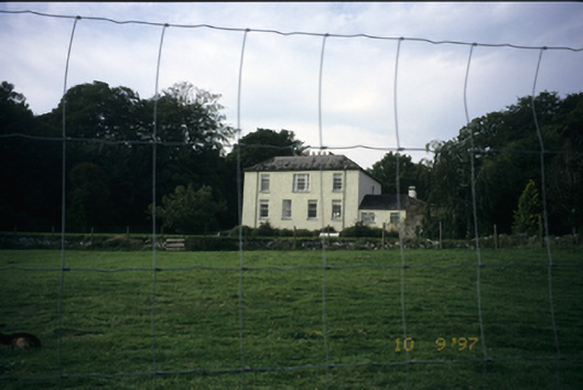 Bunratty Househouse · 479 yd
 Sweet ChestnutSweet Chestnut · 525 yd
 Illaunmore PointHeadland · 1187 yd
 Inishcronan PointHeadland · 1.2 mi
 CastleCastle, motte and bailey · 1.4 mi
 Grass IslandIslet · 1.8 mi