What is recorded here
In a level field, excavated in 2006 in advance of the construction of the N9/10 Kilcullen-Waterford road (Excavation Licence No. E2515). An unlined pit (L 1.5m; Wth 1.4m; D 0.15m) with concave sides and an uneven base, filled with mid brown silty clay containing fragments of charcoal and c. 20 medium-sized angular stones. Three small deposits (KK031-073002-) were excavated 6-8m to the E. (Channing 2009, 252, no. 988; Channing 2010)
Compiled by: Mary Tunney
Date of upload: 21 August 2013
The monument record does not grant public access. Check the route and ask the landowner before entering private land.
- What survives
- Recorded monument
Places near here
 Church (in Ruins), GraveyardChurch · 724 yd
 Kilcurl Church RuinArchaeological place · 739 yd
 Gorman's Cottagefarmyard complex · 974 yd
 CastleCastle, tower house · 1123 yd
 Ballyboodan Ogham StoneArchaeological place · 1238 yd
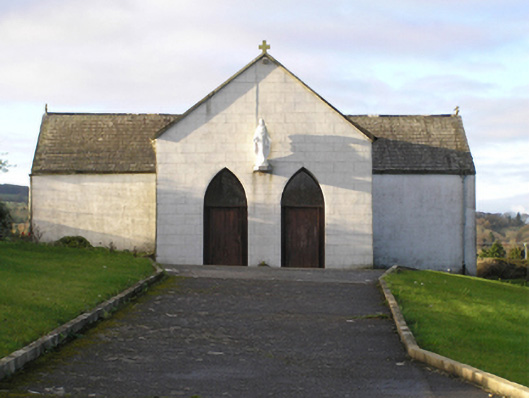 Saint Brendan's Catholic Churchchurch/chapel · 1.1 mi
 Carrickshock MemorialMonument · 1.1 mi
 Aghaviller Castle (in ruins)Castle, tower house · 1.3 mi
 Castlemorris Pheasant LoopWalking route · 1.7 mi
 Castlemorris WoodForest · 1.7 mi
 Turkey OakTurkey Oak · 3.0 mi
 Holy WellSpring · 4.5 mi