What is recorded here
In pasture 170m E of a stream. Not depicted on OSi historic maps. Identified as (BGE 3/77/22) in 2002 by Ken Wiggins (Licence 02E0119) during topsoil-stripping on the Bord Gáis Éireann Pipeline to the West. Ditch excavated in 2002 by Brian Halpin under licence No. 02E0517 the results of which were summarised as follows; ‘A curvilinear feature was uncovered lying just to west of (LI039-182----). This feature, measuring 6.7m north–south by 0.7m, was linear and U-shaped, with steep sides and a generally flat base, and was cut into the yellow/orange boulder clay. It had three fills of varying grey/brown silty clay with very occasional charcoal flecking. It may be part of a larger ditch feature that has not survived (Halpin 2004, 299-300; Grogan 2007, 244)’. Monument has been fully excavated and is not visible on aerial images.
Compiled by: Martin Fitzpatrick
Date of upload: 20 May 2021
The monument record does not grant public access. Check the route and ask the landowner before entering private land.
- What survives
- Recorded monument
Places near here
 ExcavationExcavation, miscellaneous · 230 yd
 IndicatedEarthwork · 515 yd
 post boxpost box · 1.2 mi
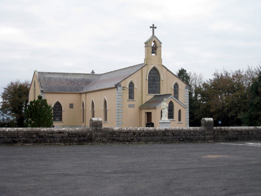 Catholic Church of the Holy Trinitychurch/chapel · 1.2 mi
 Castle (in ruins)Castle, unclassified · 1.8 mi
 Bawn in MaidstownBawn · 1.9 mi
 Lough GurVisitor information · 4.2 mi
 Grange Stone CircleArchaeological place · 4.2 mi
 KnockainyMountain / peak · 4.7 mi
 Pedunculate OakPedunculate Oak · 5.0 mi
 Flat cemetery in Knockainy WestFlat cemetery · 5.5 mi
 St Patrick's WellSpring · 7.8 mi