What is recorded here
Eskerstephen Grave Yard sits on the NE end of an esker ridge in County Galway, where small uninscribed stones cluster around the old church site. The D-shaped ground has grown southward through the decades, but the northern burials remain the oldest and most concentrated. Two dugout canoes surfaced in marshy ground nearby during the 1970s, hinting that water and death both belonged to this ridge long before the wall was built.
On summit, at NE end of an esker ridge running NE-SW. Claffey (1983, 42-4) claims that this may be the site of an early 'dísert' associated with St Fechín. Marked on 1st ed. of OS 6-inch map as an irregularly shaped graveyard close to the td. boundary. On 3rd ed. (1931), it is D-shaped in plan (NE-SW c. 50m, NW-SE c. 40m) with a curving W wall; it has since been extended to S. The older burials, consisting mainly of small set uninscribed stones, are concentrated around the site of the church (GA045-050001-) at N end of the graveyard. Claffey (ibid., 163) mentions that 'on the southern section of the hilltop there is a small concentration of uprights which may mark earlier graves': not located. Aerial reconnaissance in July 1968 (CUCAPAVM 44) revealed some enigmatic cropmarks (GA045-050003-) to NW of the graveyard. Two dugout canoes were found in marshy ground a short distance to SE in the 1970s (Claffey ibid., 46-8; Topgr. Files, OPW and UCG). (O'Flanagan 1927, Vol. 1, 231, 237)
The above description is derived from the published 'Archaeological Inventory of County Galway Vol. II - North Galway'. Compiled by Olive Alcock, Kathy de hÓra and Paul Gosling (Dublin: Stationery Office, 1999).
Date of upload: 05 August 2010
Early Christian monastic site, possibly 7th–9th century, associated with St Fechín; located on an esker, suggesting strategic and spiritual significance in a landscape linked to monastic settlement and pilgrimage.
The monument record does not grant public access. Check the route and ask the landowner before entering private land.
- What survives
- Recorded monument
Places near here
 Site of St. Stephens ChurchChurch · 13 yd
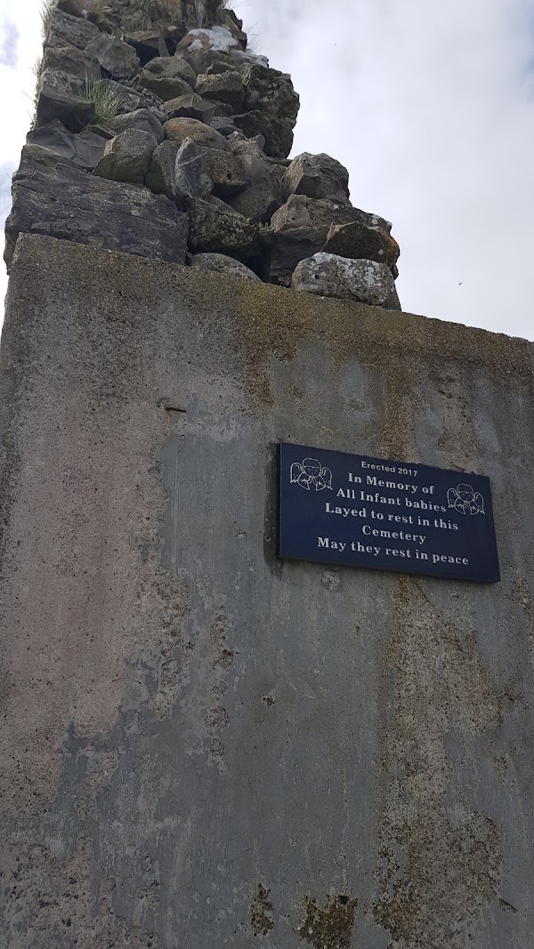 Enclosure in Templemoyle (coolcoo Ed)Enclosure · 117 yd
 IndicatedChurch · 1.2 mi
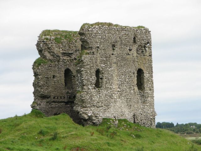 Moylough CastleCastle · 1.3 mi
 Holy Trinity ChurchChurch · 1.4 mi
 HawthornHawthorn · 2.0 mi
 Site of CastleCastle, tower house · 2.4 mi
 SycamoreSycamore · 3.1 mi
 Menlough IRAMemorial · 6.0 mi
 Knockmoy AbbeyHeritage attraction · 7.8 mi
 Mount MaryMountain / peak · 9.2 mi
 Leacht cuimhne in SummervilleLeacht cuimhne · 1665 yd