What is recorded here
Esker Grave Yard is a children's burial ground hidden in the NE corner of a Galway pasture, its wall and markers erased by time and grass. The 1838 map drew a small rectangular chamber for the dead, but the 1944 version showed a triangular open space, suggesting the boundary dissolved before human memory faded. Local tradition identifies the site as a place where children were laid to rest, yet no stone or wall remains to prove the shape or confirm the names. The field keeps its secret in plain sight, waiting for someone to notice the slight dip or the change in soil colour.
In the NE corner of a field in level pastureland. Named 'Esker Grave Yard' on the 1838 edition of the OS 6-inch map and shown as a small walled roughly rectangular graveyard. On the 1944 revision of the map it is named 'Esker Burial Ground' and depicted as being roughly triangular in shape and unenclosed. On inspection no enclosing element or grave-markers were visible. According to local information, this is a children's burial ground.
Compiled by: Galway Archaeological Survey, UCG
Date of upload: 14 February 2020
The monument record does not grant public access. Check the route and ask the landowner before entering private land.
- What survives
- Recorded monument
Places near here
 TobermuckinaghHoly well · 176 yd
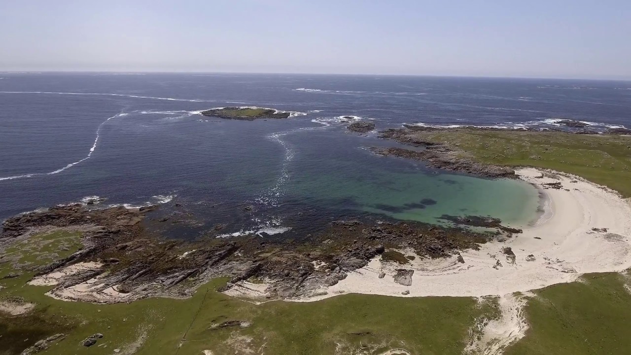 Mass-rock in Esker (longford By.)Mass-rock · 686 yd
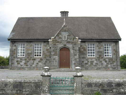 Esker National Schoolschool · 925 yd
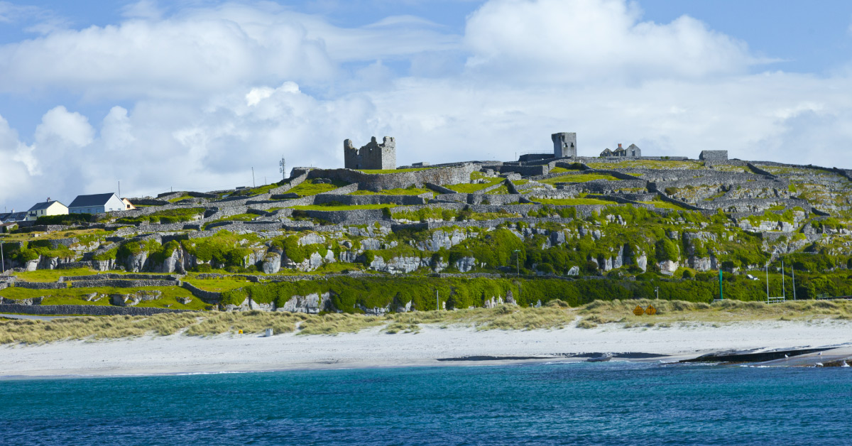 Seymours IslandsIsland · 1525 yd
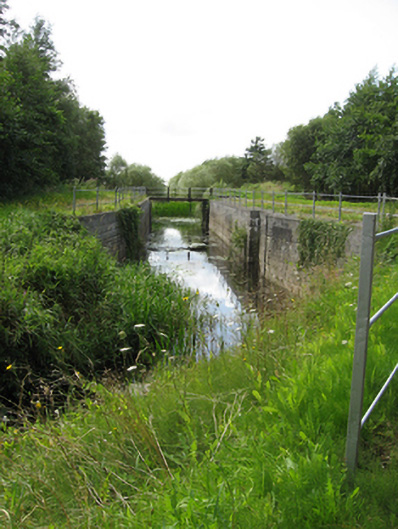 canal (section of)canal (section of) · 1716 yd
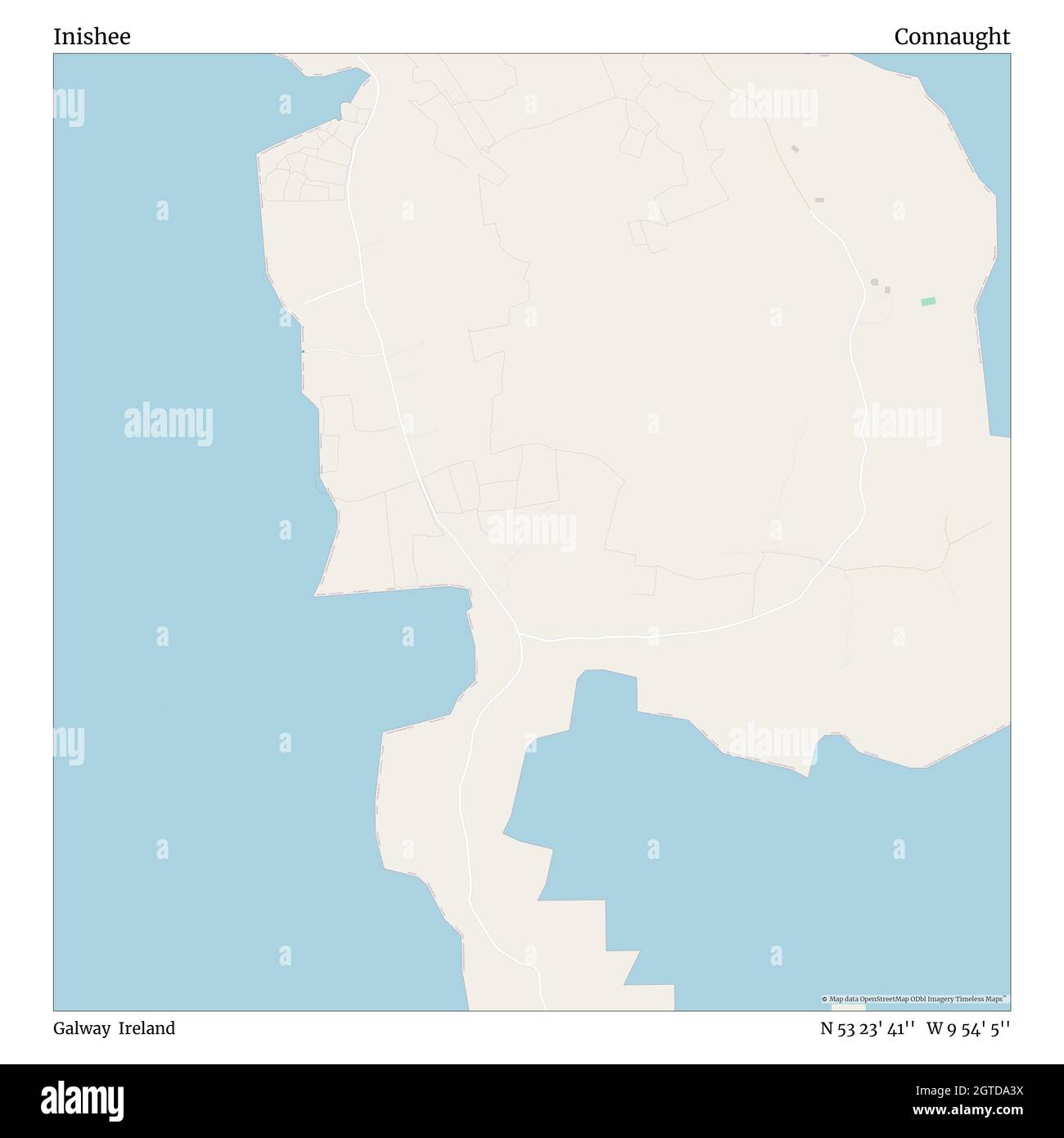 InisheeIsland · 1.0 mi
 Banagher MarinaHeritage attraction · 1.2 mi
 Corrigans CornerMemorial · 1.5 mi
 Kilbeg WoodWood · 2.7 mi
 Garry Castle in ruinsCastle, tower house · 2.8 mi
 Horse-chestnutHorse-chestnut · 3.1 mi
 Clonfert CathedralHeritage attraction · 3.1 mi