What is recorded here
Located on a S-N promontory jutting N into the river Barrow/Nore/Suir, with a SE-NW ravine on the E side. This subtriangular grass-covered area (dims. c. 200m NE-SW; c. 170m N-S) is sloping down to the rounded apex at N, and it is defined by the river SW-N-NE and the ravine at E. The landward side is defined by an earth and stone bank (L c. 175m; Wth 9.5m; int. H 2m; ext H 2.2m) and outer fosse (Wth of top 5m; int. D 0.3m; ext. D 1.2m) on the S side. There is a slight berm (Wth c. 1.5m) between the base of the bank and the fosse, and there is evidence of stone cladding on the outer edge of the fosse. The fortified church (WX044-002001-) is within the promontory fort. (Westropp 1918, 14 15)
The above description is derived from the published 'Archaeological Inventory of County Wexford' (Dublin: Stationery Office, 1996). In certain instances the entries have been revised and updated in the light of recent research.
Compiled by: Michael Moore
Date of upload/revision: 18 June, 2013
The monument record does not grant public access. Check the route and ask the landowner before entering private land.
- What survives
- Recorded monument
Places near here
 St. Catherines Chap. (in ruins)Church · 36 yd
 Saint Catherine's ChapelRuins · 71 yd
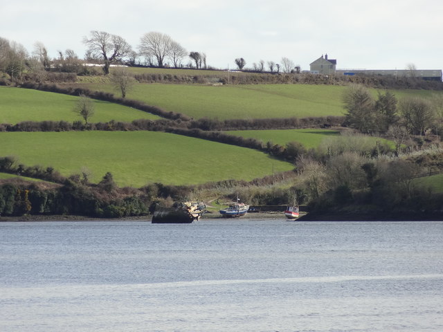 Nook BayBay · 139 yd
 Catherine's BayBay · 353 yd
 Buttermilk Castle (in ruins)Castle, tower house · 783 yd
 Enclosure in NookEnclosure · 839 yd
 Enclosure in CoolbunniaEnclosure · 1756 yd
 Kilhile Castle (in ruins)Castle, tower house · 1.0 mi
 The MinaunViewpoint · 1.2 mi
 Minaun HillMountain / peak · 1.3 mi
 Otter with a SalmonMemorial · 1.3 mi
 Dunbrody Abbey Hedge MazeHeritage attraction · 1.5 mi