What is recorded here
ENCLOSURE is a legal stranglehold that strangled the living land, turning shared breath into private property and sparking riots from the 1530s to 1640s. It wore the mask of agricultural efficiency while stripping commoners of ancient rights, proving that ownership is often just theft with better paperwork. The county still echoes with that violation, reminding us that every fence drawn around life is a cage built for the benefit of the cage-maker.
The official Northern Ireland record identifies this as ENCLOSURE - RATH?. Recorded period: UNCERTAIN. The official map point was placed at the centre of the recorded archaeological site from the source map reference.
The monument record does not grant public access. Check the route and ask the landowner before entering private land.
- What survives
- Recorded monument
Places near here
 ENCLOSURE in BallycloghanENCLOSURE · 1.3 mi
 ENCLOSURE & WINDMILL (stump): WINDMILL HILLENCLOSURE & WINDMILL (stump): WINDMILL HILL, IHR 02919 · 1.4 mi
 Battle of Saintfield (1798)Battlefield · 1.5 mi
.jpg?width=1280) Saintfield StationRailway Station Structures · 1.6 mi
Saintfield StationRailway Station Structures · 1.6 mi First Presbyterian ChurchChurch · 1.8 mi
 Glasswater WoodWood · 4.1 mi
 Post-Medieval church & graveyard in TullynakillPost-Medieval church & graveyard · 5.0 mi
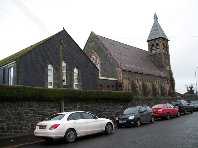 The Square Car ParkVisitor information · 5.3 mi
 Wood IslandIslet · 5.4 mi
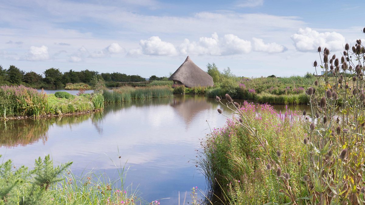 BAWN: CASTLE ESPIE in Castle EspieBAWN: CASTLE ESPIE · 5.5 mi
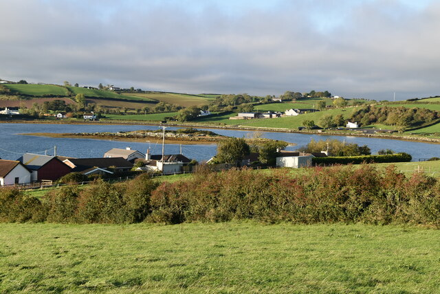 Hen IslandIslet · 5.7 mi
 Castle Espie Wetland CentreNature reserve · 5.7 mi