What is recorded here
Located towards the bottom of the NE-facing slope of a hill in Patrickstown townland and overlooking a col with a small hill whose summit is c. 500m to the NE. This is a large oval, grass-covered area (diam. c. 70m NE-SW; c. 66m NW-SE) that slopes down to the SE (H c. 2m) from the centre and more severely to the NE (H c. 10m). It is defined by a broad grass and scrub-covered earthen bank (Wth of base 8.5-9m; int. H 0.7-1.4m; ext. H 0.9-1.5m) S-N-NE and an outer fosse (Wth of top 7-8m; ext. H 0.2m at SE to 0.6-0.8m generally). There are gaps in the bank at WNW (modern) and ESE but the original entrance is probably that (Wth of base c. 3.4m) at NNE with traces of a causeway (Wth c. 5.6m) in the fosse. A NE-SW field bank overlies the interior towards the perimeter at SE and the original bank is much reduced SE of this feature.
The above description is derived from the published 'Archaeological Inventory of County Meath' (Dublin: Stationery Office, 1987). In certain instances the entries have been revised and updated in the light of recent research.
Compiled by: Michael Moore
Date of revision: 1 November 2018
Amended: 15 December 2022
The monument record does not grant public access. Check the route and ask the landowner before entering private land.
- What survives
- Recorded monument
Places near here
 Oliver Plunkett memorialMemorial · 1268 yd
 CrossCross, Wayside cross · 1309 yd
 IndicatedEnclosure · 1349 yd
 Earthen TumulusCastle, motte · 1373 yd
 Drumlerry WetlandForest · 1.4 mi
 Slieve Na CalliaghMountain / peak · 1.8 mi
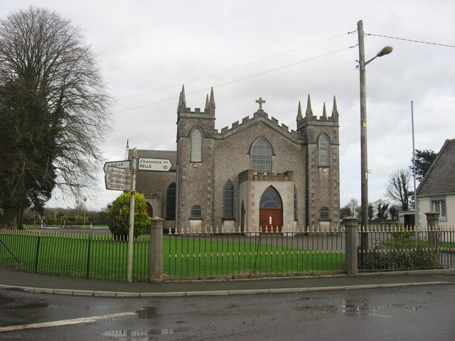 Catholic Church of the Assumptionchurch/chapel · 1.8 mi
 CastleCastle, motte and bailey · 1.8 mi
 Loughcrew Megalithic TombsHeritage attraction · 1.8 mi
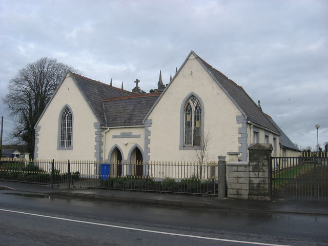 Ballinlough National Schoolschool · 1.8 mi
 Largan WoodWood · 2.0 mi
 LoughcrewMegalithic tomb cemetery · 2.5 mi