What is recorded here
In grassland. A large oval enclosure (dims. c. 105m NW-SE; c. 92m NE-SW) identified as an earthwork on Google Earth Pro imagery (imagery date 20 November 2005) by Jean-Charles Caillère. A curving field boundary runs along the outer edge of the enclosure from SSW-W-WNW. A spring is indicated on the 1st ed. 6-inch OS map immediately outside the NE quadrant and on the satellite imagery a former stream bed is evident running from the well to the Dinin River which is c. 125m to the SE. The enclosure appears to be defined by a scarp. See attached photograph:
KK006-017----_01 Image © Digitalglobe satellite imagery
Compiled by: Jean Farrelly
Date of upload: 7 January 2020
In grassland. A large oval enclosure (dims. c. 105m NW-SE; c. 92m NE-SW) identified as an earthwork on Google Earth Pro imagery (imagery date 20 November 2005) by Jean-Charles Caillère. A curving field boundary runs along the outer edge of the enclosure from SSW-W-WNW. A spring is indicated on the 1st ed. 6-inch OS map immediately outside the NE quadrant and on the satellite imagery a former stream bed is evident…
From the National Monuments Service (Archaeological Survey of Ireland) record KK006-017
The monument record does not grant public access. Check the route and ask the landowner before entering private land.
- What survives
- Recorded monument
Places near here
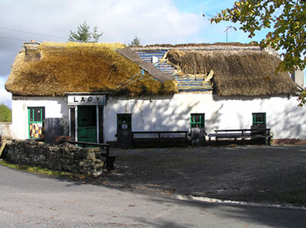 LacyHouse · 1724 yd
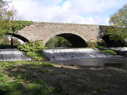 Massford BridgeBridge · 1.0 miArdra LoopWalking route · 1.4 miGlenmullen WoodWood · 1.4 miCastleCastle, unclassified · 1.6 miFootprints In CoalMuseum · 1.8 miCastlecomer Discovery ParkHeritage attraction · 1.8 mi
 Estate YardMemorial · 1.8 mi
 Holy Well1.8 mi
 The GarrisonCastle, motte · 1.9 mi
 European Yew2.0 mi
 Creamery HouseMemorial · 2.1 mi
Pictures: National Inventory of Architectural Heritage; A.-K. D., Wikimedia Commons · CC BY-SA 4.0; A.-K. D., Wikimedia Commons · CC0; Sitomon, Wikimedia Commons · CC BY-SA 2.0
More archaeology and monuments in County Kilkenny · All of County Kilkenny
What do you know about this place?