
What is recorded here
In pasture. A large oval enclosure (dims. c. 100m N-S; c. 92m E-W) defined by a bank is visible on satellite imagery (© Google Earth, imagery date 1 March 2010), identified and reported by Jean-Charles Caillère. The enclosure is roughly bisected by a public road running WNW-ESE immediately N of the centre of the monument. A field boundary runs NNE-SSW across the northern portion of the enclosure, through the NW quadrant.
See attached images:
TN008-063----_01 Google Earth image (1 March 2010)
TN008-063----_02 DigitalGlobe image
Compiled by: Jean Farrelly
Date of upload: 21 April 2020
The monument record does not grant public access. Check the route and ask the landowner before entering private land.
- What survives
- Recorded monument
Places near here
 IndicatedEnclosure · 1353 yd
 Loughkeen Houserectory/glebe/vicarage/curate's house · 1586 yd
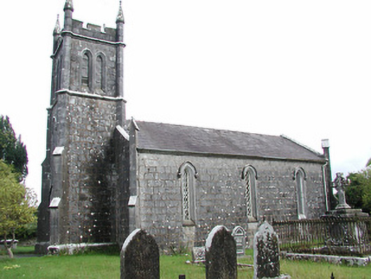 Loughkeen Churchchurch/chapel · 1741 yd
 Enclosure in LoughkeenEnclosure · 1.0 mi
 Clohaskin Castle (in Ruins)Castle, hall-house · 1.3 mi
 Carrig Castle (in ruins)Castle, unclassified · 2.0 mi
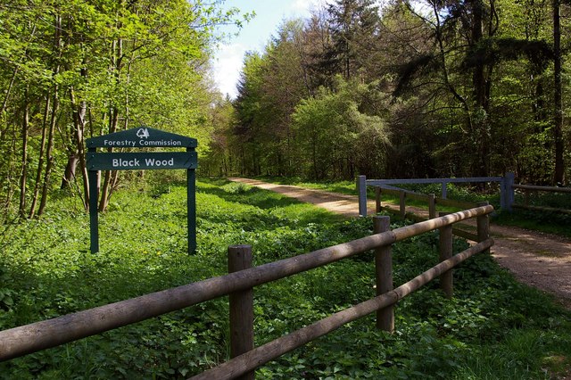 Black WoodForest · 3.1 mi
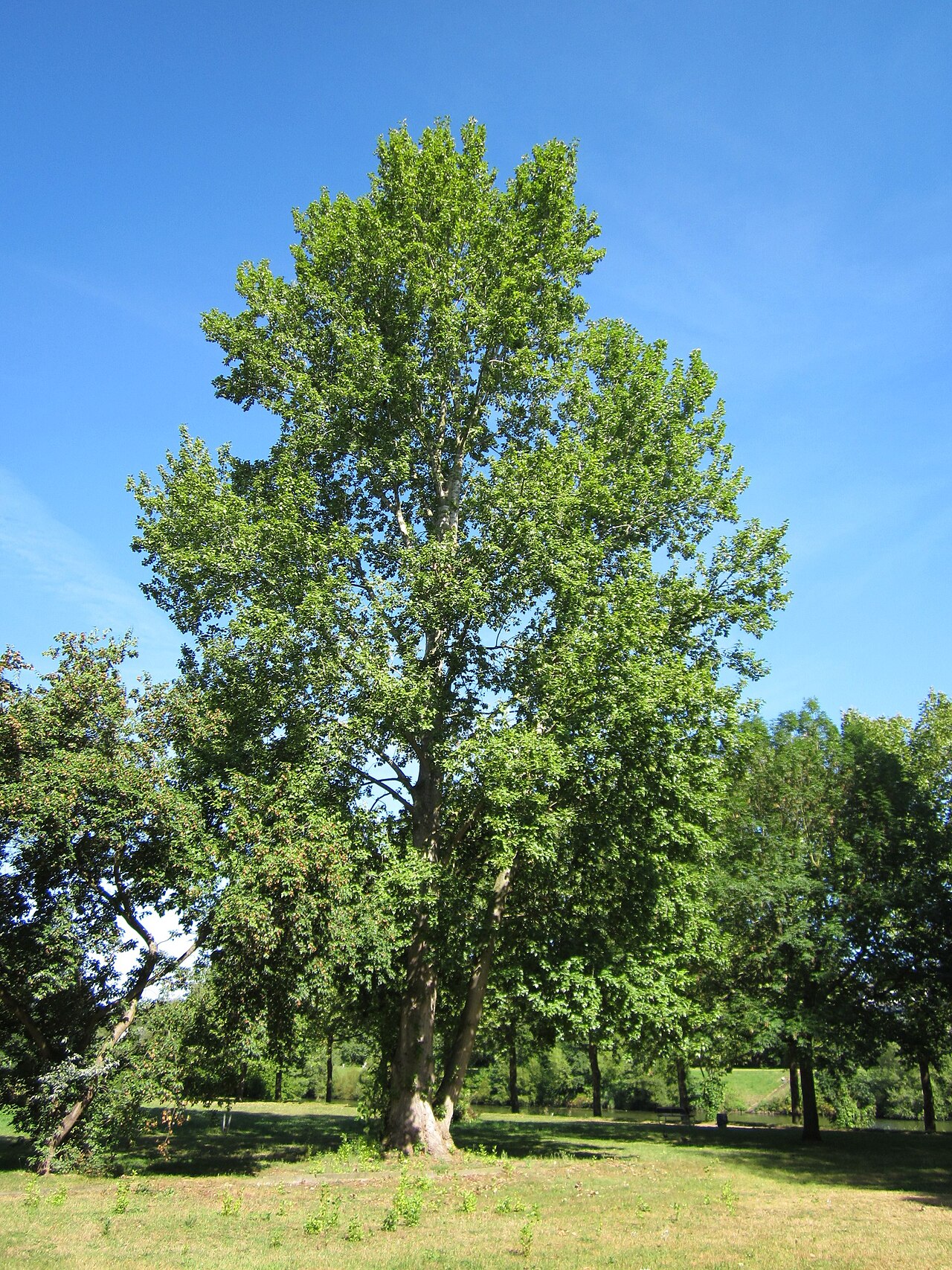 Grey PoplarGrey Poplar · 5.1 mi
 Waterfall PointViewpoint · 5.2 mi
 The Great Telescope 'Leviathan'Heritage attraction · 5.2 mi
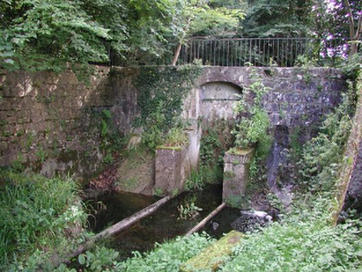 Birr Castlemachinery · 5.4 mi
 James Franklin FullerMemorial · 5.4 mi
Other information
Photo: Credit not shown in the picture search · Rights wording not checked; contact us if this picture should be removed