What is recorded here
In tillage. A large oval enclosure (dims. c. 134m NE-SW; max. c. 102m NW-SE tapering to the SW) visible as a cropmark on Google Earth (imagery date 14 July 2018), identified and reported by Faith Bailey and Simon Dowling. Within the enclosure a stone lamp was recovered during ploughing from an area (c. 15m N-S x c. 10m E-W) of very dark soil. There is an enclosure (CW004-019----) c. 250m to the SE.
See attached:
CW004-063----_01 Google Earth image (imagery date 14 July 2018)
Compiled by: Claire Breen and Jean Farrelly
Date of revised upload: 24 February 2020
A large oval fairy fort (ringfort/rath) in Knockevagh, visible as a cropmark, likely dates to the early medieval period and may have been used as a defensive or agricultural settlement. Local folklore often associates such enclosures with fairy dwellings or ancient druidic activity.
The monument record does not grant public access. Check the route and ask the landowner before entering private land.
- What survives
- Recorded monument
Places near here
 Enclosure in Knocklishen MoreEnclosure · 1553 yd
 Rathvilly MoatArchaeological place · 1689 yd
 CastleCastle, unclassified · 1.7 mi
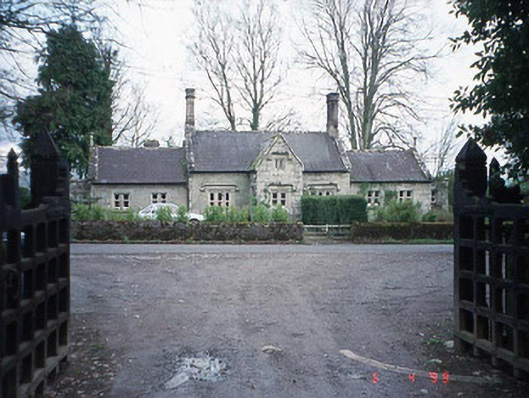 Lisnavagh Schoolschool · 1.7 mi
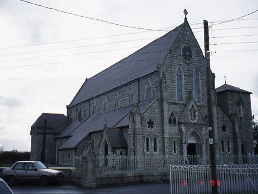 Saint Patrick's Catholic Churchchurch/chapel · 1.7 mi
 European BeechEuropean Beech · 2.0 mi
 Site of CastleCastle, unclassified · 2.1 mi
 Acaun Church (in ruins), GraveyardChurch · 2.2 mi
 Chapel (in ruins), GraveyardChurch · 2.5 mi
 Sessile OakSessile Oak · 4.0 mi
 Eagle HillMountain / peak · 4.4 mi
 Saint Brigit's Mass StoneNamed rock · 5.1 mi