What is recorded here
Situated on a fairly level landscape. A large embanked enclosure (ext. diam. c. 100m) is depicted on the 1836 edition of the OS 6-inch map where it is described as a ‘Fort’ and it is depicted as a large hachured feature on the 1912 edition. This is a large circular area (diam. c. 107m E-W; c. 100m E-W) defined by a scarp (Wth 7m; H 0.4m). There is no fosse or identifiable original entrance. It may have been an enclosed wood on the demesne of Grennanstown House, the site of which is c. 200m to the SE.
The above description is derived from the published 'Archaeological Inventory of County Meath' (Dublin: Stationery Office, 1987). In certain instances the entries have been revised and updated in the light of recent research.
Compiled by: Michael Moore
Date of revision: 27 February 2019
A large early-medieval ringfort (rath) with an external diameter of approximately 100 meters, shown as a 'Fort' on the 1836 Ordnance Survey 6-inch map. It is associated with local folklore referring to fairy forts, though specific traditions or historical events linked to this site are not recorded.
The monument record does not grant public access. Check the route and ask the landowner before entering private land.
- What survives
- Recorded monument
Places near here
 Enclosure in GreenanstownEnclosure · 257 yd
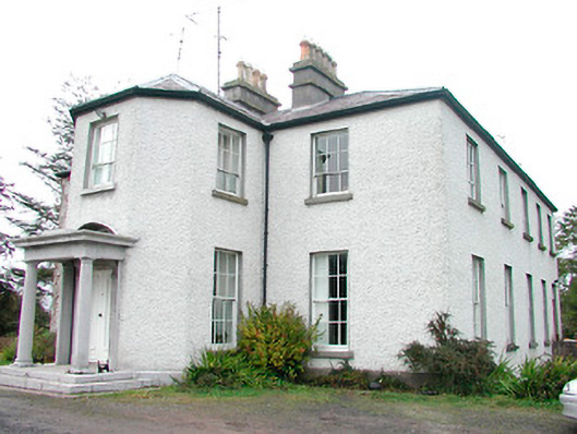 Heathstown Housecountry house · 1627 yd
 Bawn in Heathstown (delvin By.)Bawn · 1.0 mi
 Fort woodedFairy fort / earthen ringfort · 1.1 mi
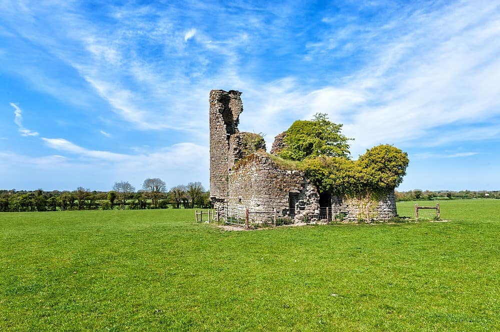 CastleCastle, tower house · 1.3 mi
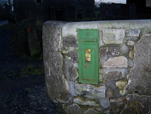 post boxpost box · 1.5 mi
 FraineMountain / peak · 2.2 mi
 Moneen WoodWood · 2.3 mi
 Beggarbush WoodWood · 2.3 mi
 Drewstown LittleMountain / peak · 2.4 mi
 FarmaphobiaHeritage attraction · 3.4 mi
 Causey FarmHeritage attraction · 3.4 mi