What is recorded here
Situated on a very slight rise, in low-lying rough wet pasture with a good view of Lough Ennel to SE yet restricted in other directions by higher ground. Depicted on the 1837 OS Fair Plan map as an irregular, subrectilinear-shaped earthwork which is annotated ‘fort’. Incorporated into a deserted medieval settlement (WM025-111004-) and an ancient field system (WM025-111001-). Enclosures (WM025-114----/112----) lie c. 85m to E and c. 105m to NNE, respectively. Monument described as a large irregular-shaped area (approx. diam. 78m) enclosed by a low bank which is almost reduced to a scarp with slight remains of an external fosse, no clear entrance feature visible. A linear bank and ditch of the field system is visible running N-S across the monument dividing it into two unequal parts. The interior rises gently from the perimeter towards the centre. Monument is visible today as an irregular-shaped earthwork on Digital Globe aerial photography.
See attached profile surveyed and drawn by the ASI
Compiled by Alison McQueen, Vera Rahilly and Caimin O’Brien.
Date of upload: 23 September 2019
The monument record does not grant public access. Check the route and ask the landowner before entering private land.
- What survives
- Recorded monument
Places near here
 EnclosureEnclosure, large enclosure · 157 yd
 Multillys WellsHoly well · 562 yd
 Church (in Ruins)Church · 669 yd
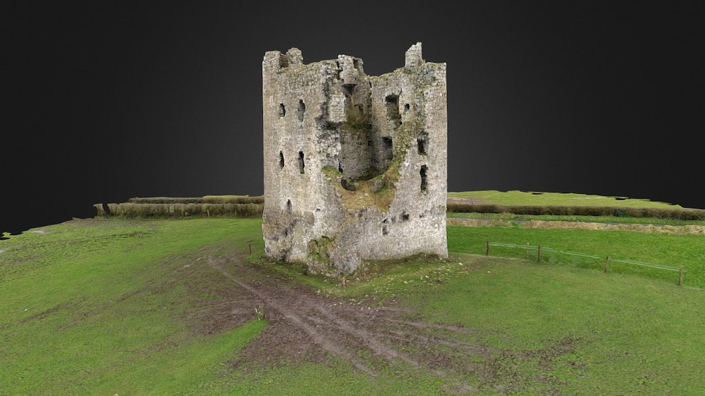 CastleCastle, ringwork · 806 yd
 Dysart Ho. (in ruins)Castle, unclassified · 865 yd
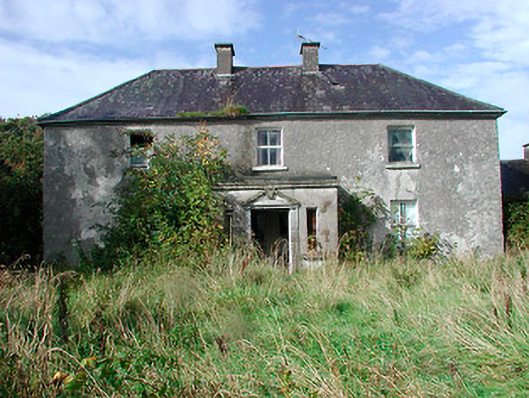 Kilcooley Housefarm house · 1103 yd
 Ash IslandIslet · 1672 yd
 Dysart IslandIsland · 1.1 mi
 Ancient Ring FortWood · 5.8 mi
 Ardan WoodWood · 7.9 mi
 Bonfire HillMountain / peak · 8.3 mi
 Kilmalady HillMountain / peak · 9.3 mi