What is recorded here
Situated on poorly drained grassland with stream immediately to N and NE, Rath House 300m to WSW and Rath School 130m to NW. Ringfort (WM006-003----) 340m to W. The stream to N marks the townland boundary with Barradrum and the road to W marks the townland boundary with Rath. Outline of large circular-shaped area (approx. diam. 70m N-S) defined by a scarp and fosse which is partially waterlogged at SW, clearly visible on Digital Globe aerial photograph. The outline of this large enclosure is also visible on earlier OSI aerial photographs. Remains of a large enclosure that is too big to be classified as a ringfort. Drainage earthworks visible in field to S and W
Compiled by: Caimin O'Brien with details kindly provided by Hugh Carey
Date of upload: 26 September 2018
The monument record does not grant public access. Check the route and ask the landowner before entering private land.
- What survives
- Recorded monument
Places near here
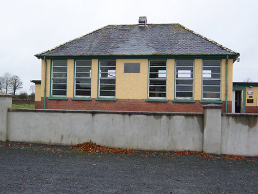 Rath National Schoolschool · 194 yd
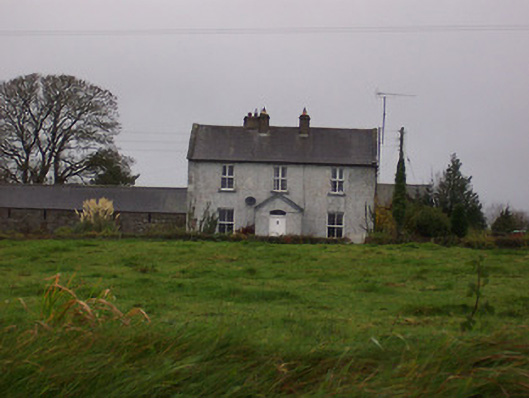 Tinode Househouse · 362 yd
 Partially hachuredFairy fort / earthen ringfort · 445 yd
 MoatCastle, motte and bailey · 776 yd
 Partially indicatedFairy fort / earthen ringfort · 1117 yd
 CastleCastle, motte · 1652 yd
 Silver FirSilver Fir · 2.5 mi
 Sweet ChestnutSweet Chestnut · 3.4 mi
 Edgeworthstown BypassMemorial · 4.9 mi
 Bridge Memorial (Kenna)Memorial · 5.3 mi
 Granard MotteMotte-and-bailey castle remains · 6.9 mi
 1798 Monumentmonument · 7.0 mi