What is recorded here
In tillage. A large sub-circular enclosure (dims. c. 74m NE-SW; c. 62m NW-SE) visible as a cropmark on Google Earth (imagery date 14 July 2018) identified and reported by Simon Dowling. A curving field boundary, indicated on the 1st ed. OS 6-inch map, defines the NE-E sector. A field boundary, also visible as a cropmark, runs NW-SE c. 5m NE of the enclosure and may be contemporary with it.
See attached Google Earth image (imagery date 14 July 2018)
Compiled by: Jean Farrelly
Date of upload: 29 January 2020
A large sub-circular early-medieval ringfort in Clongarran, likely dating to between the 5th and 10th centuries AD, identified as a cropmark in a tillage field. No specific folklore or historical traditions are recorded for this site.
The monument record does not grant public access. Check the route and ask the landowner before entering private land.
- What survives
- Recorded monument
Places near here
 Clonogan Castle (site of)Castle, unclassified · 836 yd
 Enclosure in ClonoganEnclosure · 846 yd
 Clonogan WoodWood · 892 yd
 Ballyredmond WoodWood · 970 yd
 Saint Fiacc's Church (Moyacomb)church/chapel · 1480 yd
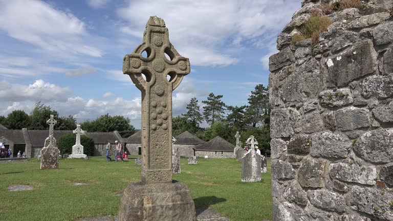 Cross in ClonegallCross · 1501 yd
 Saint Brigid's Catholic Churchchurch/chapel · 1.0 mi
 Huntington Castle & GardensHeritage attraction · 1.4 mi
 Barragh Church (in ruins), GraveyardChurch · 2.6 mi
 Gibbet HillMountain / peak · 3.2 mi
 Altamont House and GardensHeritage attraction · 3.3 mi
 Altamont Gardens MapVisitor information · 3.4 mi