What is recorded here
Cropmark of circular-shaped enclosure (approx. diam. 70m) defined by a filled-in fosse visible on Digital Globe aerial imagery. Faint outline of small circular feature in centre of enclosure, may be the remains of a small barrow. Lime-kiln depicted in the vicinity of this feature on the first ed. OS 6-inch map. The small circular feature may be the remains of this kiln. Outline of enclosure vlearly visible on Google Earth aerial imagery taken 18/01/2018.
See attached images from Google Earth aerial photographs taken 18/01/2018 and 30/11/2009
Compiled by: Caimin O'Brien based on details provided by Jean-Charles Caillère
Date of upload: 14 April 2020
The monument record does not grant public access. Check the route and ask the landowner before entering private land.
- What survives
- Recorded monument
Places near here
 IndicatedFairy fort / ringfort · 330 yd
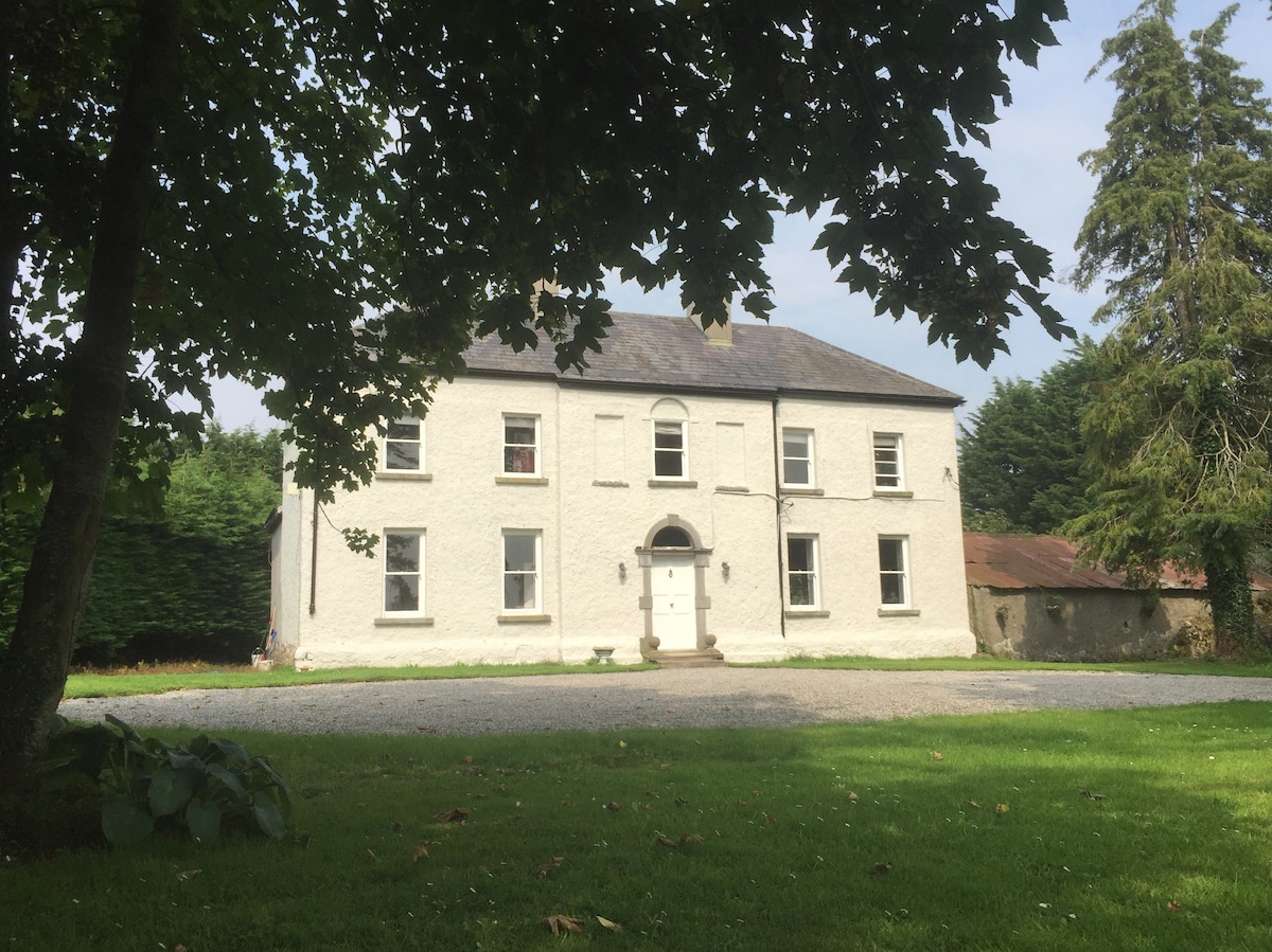 Enclosure in Ballyrickard MoreEnclosure · 482 yd
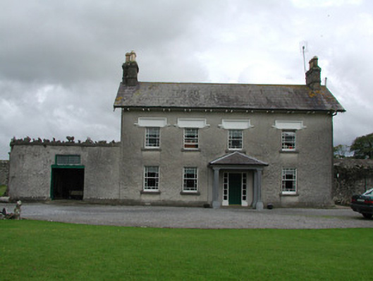 Ballinlough Househouse · 1286 yd
 RoadRoad, hollow-way · 1.0 mi
 Golden Grove WoodWood · 1.1 mi
 Golden Grove HillMountain / peak · 1.2 mi
 OCarrolls Castle (in Ruins)Bawn · 1.4 mi
 Ballybritt CastleCastle, tower house · 1.4 mi
 Eagle HillMountain / peak · 1.8 mi
 Leap CastleCastle · 2.0 mi
 Horan's WoodWood · 2.4 mi
 Millennium GardenMemorial · 2.7 mi